Disclosure : This site contains affiliate links to products. We may receive a commission for purchases made through these links.
Montaรฑa Palentina y Sur de la Liรฉbana CNIG
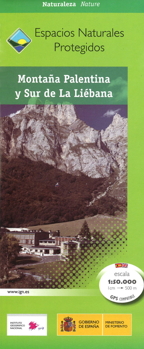
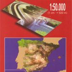
Montaรฑa Palentina, just south-east of the Picos de Europa, on a contoured and GPS compatible map at 1:50,000 from IGN/CNIG with cartography from their topographic survey of Spain. The map has contours at 20m intervals enhanced by bold relief shading, plus colouring and graphics to show different types of vegetation. Mountain refuges are highlighted, along with local hiking trails. The map has a UTM grid and margin ticks for latitude and longitude. Map legend is in Spanish only.To see other titles in this series please click on the series link.

Related Products:
 Serranรญa de Cuenca Natural Park CNIG Map
 Cabo de Gata-Nรญjar Natural Park CNIG Map
 Sierra de Espuรฑa Natural Park CNIG Map
 Teide National Park – Tenerife CNIG Map-Set
 Teide National Park – Tenerife CNIG Map and Guide Set SPANISH
Sierra de Ancares Natural Park CNIG Map
Teide National Park – Tenerife CNIG Map and Guide Set SPANISH
Sierra de Ancares Natural Park CNIG Map
 Palma CNIG Topo 698
Ila de Cabrera CNIG Topo 774
Sa Calobra CNIG Topo 643
Cap de Formentor CNIG Topo 645
Soller CNIG Topo 670
Arta CNIG Topo 672
Palma CNIG Topo 698
Ila de Cabrera CNIG Topo 774
Sa Calobra CNIG Topo 643
Cap de Formentor CNIG Topo 645
Soller CNIG Topo 670
Arta CNIG Topo 672
 Cabaรฑeros National Park CNIG Map-Guide SPANISH
Andraitx CNIG Topo 697
Inca CNIG Topo 671
Porreres CNIG Topo 699
Macanor CNIG Topo 700
Alaior CNIG Topo 646
Llucmajor CNIG Topo 724
Eivissa CNIG Topo 798
Felanitx CNIG Topo 725
Santa Eularia des Riu CNIG Topo 799
Cabaรฑeros National Park CNIG Map-Guide SPANISH
Andraitx CNIG Topo 697
Inca CNIG Topo 671
Porreres CNIG Topo 699
Macanor CNIG Topo 700
Alaior CNIG Topo 646
Llucmajor CNIG Topo 724
Eivissa CNIG Topo 798
Felanitx CNIG Topo 725
Santa Eularia des Riu CNIG Topo 799
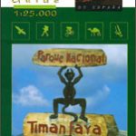 Timanfaya National Park – Lanzarote CNIG Map-Guide ENGLISH
Mahon / Mao CNIG Topo 647
Formentera CNIG Topo 824/825/849
Sant Miguel de Balansat CNIG Topo 722
Son Parc CNIG Topo 619
Cap Menorca y Ciutadella CNIG Topo 618
Timanfaya National Park – Lanzarote CNIG Map-Guide ENGLISH
Mahon / Mao CNIG Topo 647
Formentera CNIG Topo 824/825/849
Sant Miguel de Balansat CNIG Topo 722
Son Parc CNIG Topo 619
Cap Menorca y Ciutadella CNIG Topo 618
 Valles de Irati y Aezkoa Editorial Alpina
Pollensa / Polenรงa CNIG Topo 644
Illa de L`Aire CNIG Topo 673
Valles de Irati y Aezkoa Editorial Alpina
Pollensa / Polenรงa CNIG Topo 644
Illa de L`Aire CNIG Topo 673
 Caldera de Taburiente NP – La Palma CNIG Map-Guide ENGLISH
 Vall de Barravรฉs – Ribagorรงa Editorial Alpina
 Timanfaya National Park – Lanzarote CNIG Map-Guide SPANISH
 Garrotxa – Zona Volcanica Editorial Alpina
Sant Joan de Labritja CNIG Topo 773
Illa del Toro y Cap de Cala Figuera CNIG Topo 723
Isla Conejera / Illa des Conills CNIG Topo 748
Garrotxa – Zona Volcanica Editorial Alpina
Sant Joan de Labritja CNIG Topo 773
Illa del Toro y Cap de Cala Figuera CNIG Topo 723
Isla Conejera / Illa des Conills CNIG Topo 748
 Monfragรผe National Park CNIG Map-Guide SPANISH
Sant Llorenc del Munt i l`Obac Editorial Alpina
Monfragรผe National Park CNIG Map-Guide SPANISH
Sant Llorenc del Munt i l`Obac Editorial Alpina