Disclosure : This site contains affiliate links to products. We may receive a commission for purchases made through these links.
Categories
-
Best Sellers
-

Monts d`Ardรจche Didier Richard
Monts d`Ardรจche, including the Gorges of the Ardรจche, at 1:60,000 on a contoured and GPS compatible map from Didier Richard with a base derived from IGN’s Read More » -

DK Eyewitness Travel Guide Philadelphia and the Pennsylvania Dutch Country
The ideal travel companion, full of insider advice on what to see and do, plus detailed itineraries and comprehensive maps for exploring this historic region.Walk through Read More » -

DK Eyewitness Top 10 Naples and the Amalfi Coast
One of Italy`s most beautiful regions, this area is a delight to explore: here you`ll find historic palaces, art-filled museums, ancient sites and a stunning coast Read More » -

Scotland Michelin Regional 501 WATERPROOF
Scotland at 1:400,000 on an indexed touring map from Michelin – laminated version – particularly good for indentifying scenic routes. The whole country is shown on Read More » -

Harvest
As late summer steals in and the final pearls of barley are gleaned, a village comes under threat. A trio of outsiders – two men and Read More » -

Pere Goriot
This is the tragic story of a father whose obsessive love for his two daughters leads to his financial and personal ruin. It is set against Read More » -

Best British Beaches – Miranda Krestovnikoff
Whether you`re looking for miles of golden sand, crystal clear water, a cove for swimming or a break for surfing, this is the only guide you`ll Read More » -

Maira, Grana and Stura Valleys IGC 7
Maira, Grana and Stura Valleys in a series contoured hiking maps at 1:50,000 with local trails, long-distance footpaths, mountain accommodation, etc. from the Turin based Istituto Read More » -

River Thames and the Thames Path Heron Maps
Tourist map of the River Thames and Thames Path from the Source to the Thames Barrier at 1:55,000, with detailed town plans at 1:12,500. The Thames Read More » -
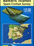
Betlem – Cap Ferrutx 25K Mallorca CNIG Topographic Survey Map No. 672-II
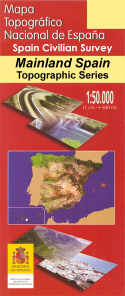
Topographic coverage of the Balearic Islands at 1:25,000 published by the Instituto Geogrรกfico Nacional ‘“ Centro Nacional de Informaciรณn Geografica, the country’s civilian survey organization. The Read More »
-


