Disclosure : This site contains affiliate links to products. We may receive a commission for purchases made through these links.
Lakes Beldany and Mikolajskie
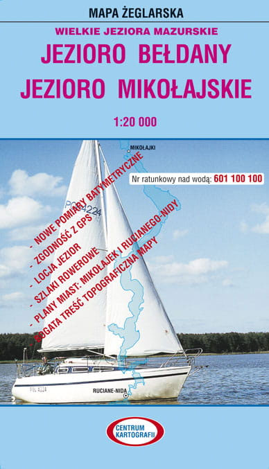
Lakes Beldany and Mikolajskie in the Masurian Lake District at 1:20,000 on a waterproof and tear-resistant sailing map from the Warsaw-based Centrum Kartografii. On water, in addition to depths the map also indicates stone reef, shores lined with stones or vegetation, buoys and where appropriate the direction of sailing, prohibition of outdoor motors, mooring places, etc. Areas requiring more detailed presentation are shown on the reverse on enlargements.On land the map has contours at 10m intervals, shows local footpaths and waymarked cycling trails, and indicates different types of accommodation (hotels, pensions, campsites, etc), various facilities including fuel supplies, landmarks and places of interest. The reverse side, in addition to the enlargements, has GPS coordinates for stone reefs and other obstacles, plus extensive, very detailed advice for navigating on the various lakes covered by the map.PLEASE NOTE: map legend and all the text on the reverse side are in Polish only.To see other titles in this series, please click on the series link.It takes 3 – 4 weeks to order these maps in.


