Disclosure : This site contains affiliate links to products. We may receive a commission for purchases made through these links.
Everest Region Trekking Map
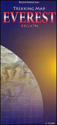
Mount Everest area on a trekking map at 1:75,000 from the Kolkata/Calcutta based Milestone Books, highlighting main trekking routes and showing peaks, passes and selected locations with altitude both in metres and feet. Coverage extends from just south of Lukla to the Chinese side of Mount Everest and the peaks of Cho Oyo and Gyachung Kang.The map has contour lines at 400m intervals superimposed on a base with relief shading and altitude colouring, although (as the publisher’s note mentions) the colouring and the shading may not necessarily coincide with the contour lines. Heights for peaks, passes and selected settlements are given both in metres and in feet. The map highlights the regions main trekking routes to the Everest Base Camp, Gokyo Lakes and the Base Camps of Mera Peak, Island Peak and Cho Oyu, as well as interconnecting trails and variants. Symbols indicate locations with tourist accommodation and medical facilities. The map has no geographical coordinates.

Related Products:
 Langtang and Helambu Trekking Map
 Annapurna Trekking Atlas
 Everest: Jiri to Everest Base Camp
 Trekking in the Everest Region: Includes Kathmandu City Guide
 Mount Everest 50th Anniversary NGS Wall Map
 Everest Base Camp & Gokyo – Three Passes 50K
 Everest: A Trekker`s Guide: Base Camp, Kala Patthar and other trekking routes in Nepal and Tibet
 Tenzing-Hillary Trek – Jiri to Everest Base Camp
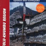 Solu Khumbu – Everest Region Great Himayala Trail Map
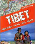 Tibet – Mount Everest – Nam Tso – Lhasa – Shigatse terraQuest Tourist Map
 Everest – Trekking Map & Complete Guide
 Bhutan Himalaya Trekking Map
 Everest – Gokyo – Cho La – the Renjo Pass (60K)
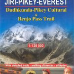 Dudhkunda- Pikey Cultural Trail & Rejno Pass Trail (Jiri – Pikey – Everest)
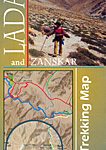 Ladakh and Zanskar Trekking Map
 Everest Base Camp NGS Adventure Map 3001
 Ama Dablam
 Mount Everest
 Mera Peak
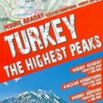 Turkey`s Highest Peaks – Mount Ararat – Kackar Mountains – Mount Suphan terraQuest Trekking Map
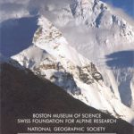
 National Geographic Mount Everest – Published 1988 575 x 909 mm
 Annapurna Base Camp
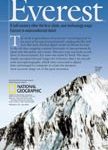
 Everest – Summit of the World
 Africa`s Highest Peaks – Kilimanjaro – Mount Kenya – Rwenzori terraQuest Trekking Map
 A trekking Guide to Everest
 Nepal
Nepal
 Kailas – Manasarovar
 Lukla to Gokyo – Cho-La – Renjo-La – Nagpa-La
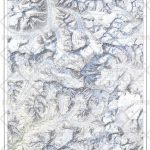
 Rolwaling Region Great Himalaya Trail Map
 The Fight for Everest 1924: Mallory, Irvine and the Quest for Everest
 Kanchenjunga
 Indian Himalaya terraQuest Trekking Map
 North Annapurna Base Camp
 Karakoram – K2 – Gasherbrum – Broad Peak terraQuest Trekking Map
 Mount Qomolangma (Sagarmatha/Mount Everest)
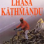 Lhasa to Kathmandu Biking Map
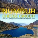 Numbur Cheese Circuit
 Tumlingtar to Lukla
 Tian Shan – Khan Tengri – Pobeda Peak – Lenin Peak terraQuest Trekking Map