Disclosure : This site contains affiliate links to products. We may receive a commission for purchases made through these links.
Hong Kong – Macau Guide Map
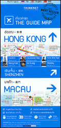
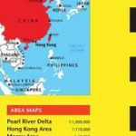
Hong Kong and Macau on a map from Thai publishers Thinknet presenting on its two sides a selection of panels providing street plans of the most visited parts in and around these two cities, transport diagrams, etc.The Hong Kong Special Administrative Region is presented on an overview map showing its MTR rail network and ferry connections to the smaller islands. Included on this map is the adjoining part of Shenzhen with the city’s metro lines. The map clearly indicates which parts of the whole area are presented in greater detail on supplementary panels: downtown Hong Kong and Kowloon plan covering the whole of one side of the map, plus smaller panels with street plans of Wong Tai Sin, Sai Kung Town, Sha Tin, and Stanley. Also provided is a street plan of central Shenzhen, plus diagrams of Honk Kong’s and of Shenzhen’s metro/rail networks. A small map of the Pearl River estuary shows Hong Kong with Macau, which is presented on two panels: the Macau itself plus a plan of the Taipa and Coloane Islands. All the plans indicate, where appropriate, metro/railway stops and are annotated with symbols showing numerous selected hotels, restaurants, shopping centres, etc. Several locations are cross-referenced to small photos with brief descriptions. All place names are shown in the Latin alphabet and in their English versions (Snoopy World, Friendship Hotel, etc). Some highlighted locations also have their names in Thai and Chinese. Map legend includes English; descriptive notes are in Thai.


