Disclosure : This site contains affiliate links to products. We may receive a commission for purchases made through these links.
Lake Manyara & Tarangire National Park
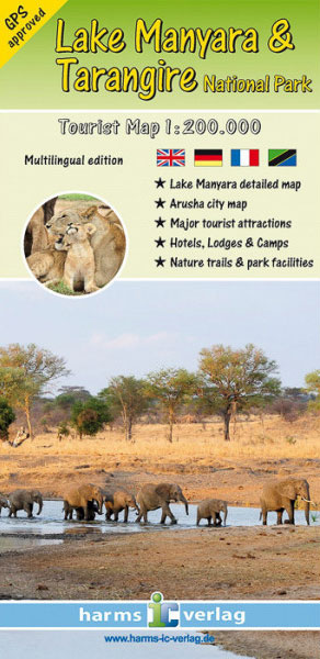
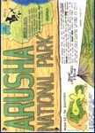
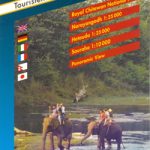
This map, at a scale of 1:200,000, covers the area surrounding the Lake Manyara and Tarangire National Parks.Coverage includes popular tourist destinations, hotels, lodges, camps, campsites, and parking facilities. Cartographic details of this map, including but not limited to accuracy of road locations and elevation have been field checked for accuracy with GPS.In addition to the primary coverage, a detailed map of Lake Manyara at 1:125,000 scale, and a map of Arusha are included.The legend is multi-lingual and includes English, German, French and Kiswahili.


