Disclosure : This site contains affiliate links to products. We may receive a commission for purchases made through these links.
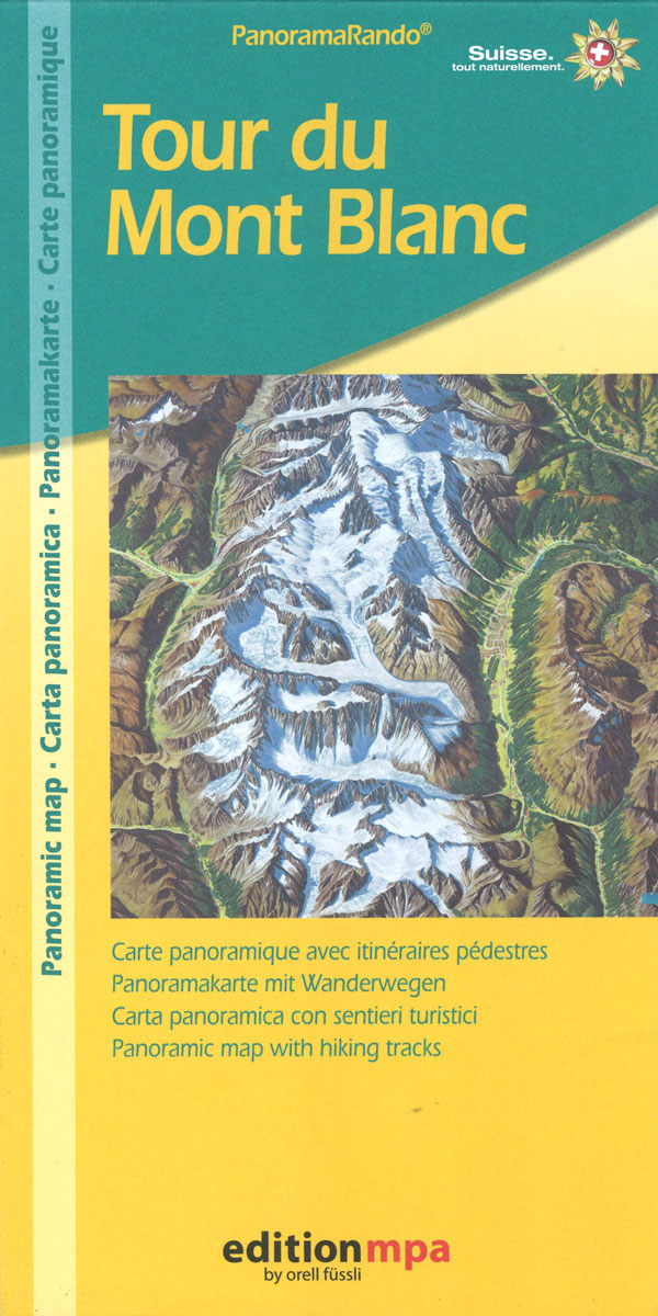
Tour du Mont Blanc Editions MPA Panoramic Map

Beautiful panorama map of the Tour of Mont Blanc (TMB) vividly presenting the course of one of Europe’s most popular long-distance hiking trail and providing an excellent supplement to the many topographic maps and guidebooks covering the TMB.The map is drawn with the south-southwest at the top, so that TMB’s traditional starting point at Las Houches is on the right of the Mont Blanc and Courmayeur on the left. The main route and its variants are clearly marked, indicating intermediate distances, and symbols show locations of refuges and isolated hotels. The map also shows access to various surrounding resorts by rail, as well as cable car / gondola / chair lift connections onto the Mont Blanc massif and in the surrounding mountains. Map legend includes English.Recommended ‘“ both as a planning tool for a future challenge and as a souvenir of past triumphs!


