Disclosure : This site contains affiliate links to products. We may receive a commission for purchases made through these links.
Canada West
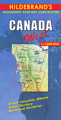
Western Canada at 1:1,500,000 on a large, double-sided map from Hildebrand providing coverage of Alberta and British Columbia including the Canadian Rockies, with most of Yukon and Northwest Territories. Locations of interest are prominently highlighted and numerous topographical features are named.The map presents the region’s road network indicating winter roads and providing driving distances on many local routes. Railway lines are included and local airports are marked. Locations of particular interest are prominently highlighted and the map shows numerous campsites. Topography of this mountainous region is indicated by relief shading with plenty for names of topographic features: mountain ranges, peaks (heights in metres), rivers and lakes. Latitude and longitude lines are drawn at intervals of 1ยฐ and the time zone boundary is marked. Map legend includes English.

Related Products:
 Colombia F&B
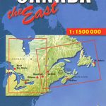 Canada East
 China North-West Wall Map
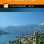 Montenegro
 Ecuador F&B
 Peru F&B
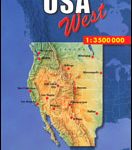 USA West
 Rocky Mountains Canada and US ITMB
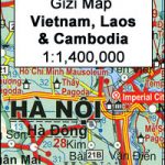
 Vietnam – Laos – Cambodia Gizi Map
 Canada F&B
 Canada West Reise Know-How
 Vietnam – Laos – Cambodia Wall Map
 Kenya F&B
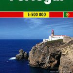 Portugal F&B
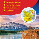
 USA West Marco Polo Map
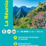 Reunion IGN 84974
 Montenegro Coast
 Canada Marco Polo Map
 Western & Northern Canada ITMB Travel Atlas
 Kosovo F&B Top 10 Tips
 Ukraine West
 Malaysia West – Singapore Nelles
 Turkmenistan Gizi Map
 Cuba Marco Polo Map
 Canada West NGS Adventure Map 3113
Canada IGN Map 85101
Canada West NGS Adventure Map 3113
Canada IGN Map 85101
 North Macedonia F&B Top 10 Tips
 Albania F&B Top 10 Tips
 Sri Lanka Reise Know-How
 Germany K+F Road Map
 Cuba West ITMB
 Belgium F&B
 Zambia F&B
 Saudi Arabia Gizi Map
Banat West – Banat Mountain Country
Saudi Arabia Gizi Map
Banat West – Banat Mountain Country
 Cuba NGS Adventure Map 3112
 Kaunas and Environs
 Hue – Da Nang & Vietnam Centra ITMB
 Central Asia Nelles