Disclosure : This site contains affiliate links to products. We may receive a commission for purchases made through these links.
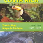
Costa Rica Borch
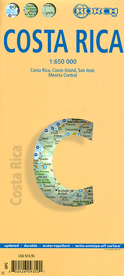
Laminated, waterproof tourist map of Costa Rica from Borch, with a street plan of San Josรฉ and an enlargement for the central region around the capital, all with indexes listing places of interest. The main map shows the whole of the country at a scale 1:650,000 on one side, highlighting national parks and other protected areas, various places of interest, selected campsites, etc. Along the coast, particularly on the Pacific side, the map highlights numerous beaches, surfing, windsurfing, and scuba diving sites. A separate enlargement shows more scuba diving sites on the Isla del Coco. Relief shading with peak heights plus symbols for swamps and mangrove show the country’s terrain. Internal administrative boundaries are marked and the road network indicates locations of main petrol stations. An extensive index of place names includes separate lists of protected areas and beaches. On the reverse, a large street plan San Josรฉ at 1:20,000 shows numerous hotels, services, and various places of interest, all included in separate lists in the index of streets. An enlargement at 1:300,000 shows in more detail the Meseta Central region around the capital, also with an index listing both towns and places of interest. There is also information on the monthly average temperature, sunshine, precipitation, and humidity. The multilingual map legend includes English.


