Disclosure : This site contains affiliate links to products. We may receive a commission for purchases made through these links.
Germany Landscapes: Names and Boundaries
Names and boundaries of 750 officially designated landscape areas, as well as historical natural or industrial regions, presented by the Bundesamt fรผr Kartographie und Geodรคsie (Germany’s national survey organization) on a base map at 1:1,000,000 showing the country’s road and rail networks. The map shows boundaries and, where appropriate, subdivisions of officially designated natural regions, e.g. Harz: Oberharz / Unterharz, Lรผneburger Heide: Hohe Heide / Uelzener Becken / Harburger Berge / Lรผss, etc. Also marked are boundaries of historical landscape areas (Historische Landschaft) such as Rheinhessen or Oberschwaben, or industrial areas (Wittscheftlandschaft) Ruhrgebiet, Frรคnkisches Seeland, etc. All the areas marked on the map are listed in an index which gives for each entry its latitude and longitude. Map legend for the base map includes English; all other explanatory notes are in German only.

Related Products:
 Discovering Parish Boundaries
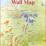
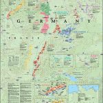 Germany De Long Wine Wall Map
 Poland: Reise-Know-How Touring Maps with Historic Place Names
 Poland/Czech Republic: Hรถfer 200K Road Maps with Historical Place Names
 Landscapes of the Imagination
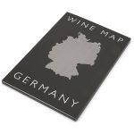
 Germany Postcode Map
 California De Long Wine Wall Map
 Chart D – Maritime Boundaries of Denmark
 Dark Peak Walks: 40 Walks Exploring the Peak District Gritstone and Moorland Landscapes
 United Kingdom OS Administrative Boundaries Wall Map LAMINATED
 Where the Line is Drawn: Crossing Boundaries in Occupied Palestine
 Germany Administrative F&B Wall Map
 London`s Green Belt
 Schwabische Alb – Oberschwaben Publicpress Cycling 171
 London`s Green Belt Wall Map
 Germany K+F Road Map
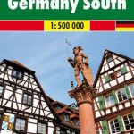
 Germany South K+F Road Map
Rheinhessen Cycle Map
Germany South K+F Road Map
Rheinhessen Cycle Map
 Germany De Long Wine Map
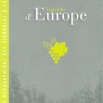 Europe Wine Map
 The Book Of English Place Names
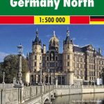 Germany North F&B
 Landscapes and Geomorphology – A Very Short Introduction
 Germany South F&B
 Europe Editions Benoit Wine Wall Map
 Germany NGS Classic Wall Map PAPER
 The Culture Map: Breaking Through the Invisible Boundaries of Global Business
 Led by the Land: Landscapes
 Germany and Benelux Inland Waterways Map
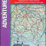 Germany Adventure Map
 Capability Brown: Designing English Landscapes and Gardens
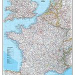 France, Belgium and Netherlands NGS Classic Wall Map PAPER
 Wroclaw with Historical Place Names
 Mrs Moreau`s Warbler: How Birds Got Their Names
 Germany F&B
 Germany: Marco Polo 200K Regional Road Maps
 Germany F&B Motorways Map
 Germany South Hallwag Road Map
 Place-Names: A Pocket Guide to Over 1500 Place-names in England, Ireland, Scotland and Wales
 Germany: Kompass 125K Cycling 2-Map Sets