Disclosure : This site contains affiliate links to products. We may receive a commission for purchases made through these links.
Iraq – Kuwait Reise Know-How
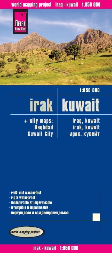
Iraq with Kuwait at 1:850,000 on a light, waterproof and tear-resistant map from Reise-Know-How with enlargements for Baghdad and Kuwait City. The map, published by Reise-Know-How as part of their highly acclaimed World Mapping Project, is double-sided to provide the best balance between a good scale and a convenient size sheet. Names of main cities are also given in the Arabic alphabet.Topography is shown by altitude colouring with spot heights, names of mountain ranges, seasonal rivers, water wells, swamps and salt pans. Road network includes local roads, indicating driving distances on main routes and on some secondary roads. Railways and local airfields are also marked. Internal administrative boundaries are shown with names of the provinces. Symbols show locations of various places of interest, including Iraq’s great archaeological remains. Oil wells and pipelines are also marked. The map has a grid with latitude and longitude at intervals of 1ยบ and an index of localities. Map legend includes English. Current edition was published in 2016; an earlier digital version of this map was used by the British Army whilst stationed there.Baghdad is also shown on a large inset at 1:100,000, highlighting main traffic arteries, with selected streets, plus names of districts and various important buildings. A similar overview map of the Kuwait City at 1:110,000 is supplemented by an enlargement for the central area with places of interest, etc.


