Disclosure : This site contains affiliate links to products. We may receive a commission for purchases made through these links.
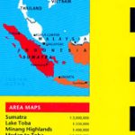
Sumatra Reise-Know-How Map
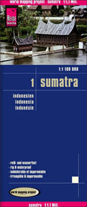
Sumatra at 1:1,100,000 on light, waterproof and tear-resistant plastic paper, with both topographic and tourist information. The map, part of Reise Know-How`s highly acclaimed “World Mapping Project”, is double-sided to provide the best balance between a good scale and a convenient size sheet. Coverage includes Bangka and Belitung Islands, plus Riau and Lingga Archipelagoes shown as an inset at the same scale.Topography is shown by altitude colouring with spot heights and graphics indicating salt flats. Detailed presentation of the road network includes dirt roads and local tracks; railways, local airports and ferry connections to other islands of the Indonesian archipelago are also shown. Local administrative units are shown with their boundaries and names. National parks and other protected areas are highlighted. A wide range of symbols shows various places of interest including UNESCO sites, temples, museums and monuments, hot springs and other natural features, etc. Latitude and longitude lines are drawn at 30’ intervals. The map has an extensive index of localities. Map legend includes English.To see other Reise Know-How maps covering Indonesian islands please click on the series link.

Related Products:
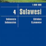 Sulawesi Reise Know-How
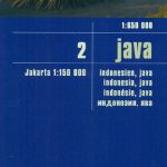 Java Reise Know-How
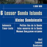 Lesser Sunda Islands – Bali to East Timor Reise Know-How
 Bali – Lombok – Komodo Reise Know-How
 Papua New Guinea – Indonesian Papua & Maluku Islands Reise Know-How
 Borneo Reise Know-How
 China West Reise Know-How
 Azores Reise Know-How
 Sumatra ITMB
 Ecuador – Galapagos Islands Reise Know-How
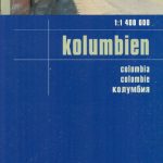 Colombia Reise Know-How
 Sumatra – Medan Periplus Travel Map
 China Reise Know-How
 Pyrenees Reise Know-How
 China East – North and South Korea Reise Know-How
 Portugal Reise Know-How
 Sri Lanka Reise Know-How
 Tibet Reise Know-How
 Senegal – Gambia Reise Know-How
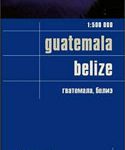 Guatemala – Belize Reise Know-How
 Japan Reise Know-How
 Philippines Reise Know-How
 Central America Reise-Know-How Map
 Costa Rica Reise Know-How
 Mexico Reise Know-How
 Libya Reise Know-How
 Oman Reise Know-How
 Iceland Reise Know-How
 Costa Rica – Panama Reise Know-How
 Corsica Reise Know-How
 Poland Reise Know-How
 Egypt Reise Know-How
 Ireland Reise Know-How
 Slovakia Reise Know-How
 Belarus Reise Know-How
 Saudi Arabia Reise Know-How
 Jordan Reise Know-How
 Indochina: Vietnam – Laos – Cambodia Reise Know-How
 Laos Reise Know-How