Disclosure : This site contains affiliate links to products. We may receive a commission for purchases made through these links.
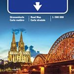
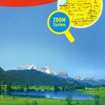
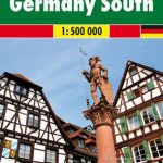
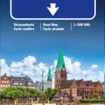
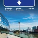
Germany South Hallwag Road Map
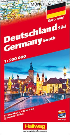
Detailed touring map of southern Germany extending just north of Koln and Dresden. Separate plans present road access to and main routes across Manheim/Heidelberg, Stuttgart, Saar-Brucken, Frankfurt, Nurnberg, Mainz/Wiesbaden and Munich.The map shows seven different kinds of roads, with road names and junction numbers, intermediate driving distances in km, petrol stations, restaurants and motels along main roads.Scenic routes, railways, cable cars and airports are also marked alongside prohibited areas, national parks, waterfalls and swamps. A number of symbols also indicates places of interests, natural curiosities, viewpoints, notable buildings and ruins, monuments, campsites, spas, theme parks, and golf resorts and motor circuits.The map also includes a special “Distoguide” incorporated into the map cover, showing at a glance road distances between several German cities.Map index is in a separate booklet attached to the cover.All texts are in six different European languages including English.


