Disclosure : This site contains affiliate links to products. We may receive a commission for purchases made through these links.
Wiener Neustadt F&B
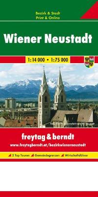
Streetmap at 1:25,000 of the central region of the city, from Donaufeld in the north-east to Oberlaa district in the south and Penzing in the west.Detail includes public buildings and locations of interest, tram & bus routes, railways & metro lines, pedestrian zones, information centres, post offices, hospitals, parks. Map legend includes English.On the reverse is a small road map of the city and its environs and a plan at 1:8,500 of the city centre.Street index included. 29 locations of interest are marked on the maps and given brief descriptions.


