Disclosure : This site contains affiliate links to products. We may receive a commission for purchases made through these links.
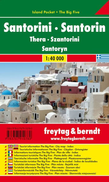
Santorini F&B Pocket Map

Related Products:
 Santorini Marco Polo Pocket Guide
 Santorini Reise Know-How
 Santorini Best of: 2016
 Santorini Terrain Editions 313
 Santorini – Thirasia Anavasi 10.24
 Santorini and Therasia with Anaphi
 Santorini (Thira): The Lost Island of Atlantis
 Santorini, Sifnos, Kea, Western & Southern Cyclades: 50 Walks on 11 Islands
 Walking on the Greek Islands – the Cyclades: Naxos and the 50km Naxos Strada, Paros, Amorgos, Santorini
 Lonely Planet Pocket Londra, London Pocket Guide (ITALIAN EDITION), IN ITALIANO
 Kyoto Pocket Precincts: A Pocket Guide to the City`s Best Cultural Hangouts, Shops, Bars and Eateries
 Hanoi Pocket Precincts: A Pocket Guide to the City`s Best Cultural Hangouts, Shops, Bars and Eateries
 Adelaide Pocket Precincts: A Pocket Guide to the City`s Best Cultural Hangouts, Shops, Bars and Eateries
 Tokyo Pocket Precincts: A Pocket Guide to the City`s Best Cultural Hangouts, Shops, Bars and Eateries
 Stockholm Pocket Precincts: A Pocket Guide to the City`s Best Cultural Hangouts, Shops, Bars and Eateries
 Melbourne Pocket Precincts: A Pocket Guide to the City`s Best Cultural Hangouts, Shops, Bars and Eateries
 Paris Pocket Precincts: A Pocket Guide to the City`s Best Cultural Hangouts, Shops, Bars and Eateries
 San Francisco Pocket Precincts: A Pocket Guide to the City`s Best Cultural Hangouts, Shops, Bars and Eateries
 London Pocket Precincts: A Pocket Guide to the City`s Best Cultural Hangouts, Shops, Bars and Eateries
 Singapore Pocket Precincts: A Pocket Guide to the City`s Best Cultural Hangouts, Shops, Bars and Eateries
 Osaka Pocket Precincts: A Pocket Guide to the City`s Best Cultural Hangouts, Shops, Bars and Eateries
 Venice Pocket Precincts: A Pocket Guide to the City`s Best Cultural Hangouts, Shops, Bars and Eateries
 Montreal & Quebec City Pocket Precincts: A Pocket Guide to the City`s Best Cultural Hangouts, Shops, Bars and Eateries
 Kos F&B Pocket Map
 Triglav Pocket Map
 Bled Pocket Map
 Pocket Binoculars 10 x 25
 Coromandel Pocket Map
 Mozambique Pocket Map
 Istria F&B Pocket Map
 Corfu F&B Pocket Map
 Mallorca F&B Pocket Map
 Rhodes F&B Pocket Map
 Tenerife F&B Pocket Map
 Neusiedler See F&B Pocket Map
 Salzkammergut F&B Pocket Map
 Elba F&B Pocket Map
 La Palma F&B Pocket Map
 Lisbon Pocket Map