Disclosure : This site contains affiliate links to products. We may receive a commission for purchases made through these links.
Switzerland 200K DOUBLE-SIDED
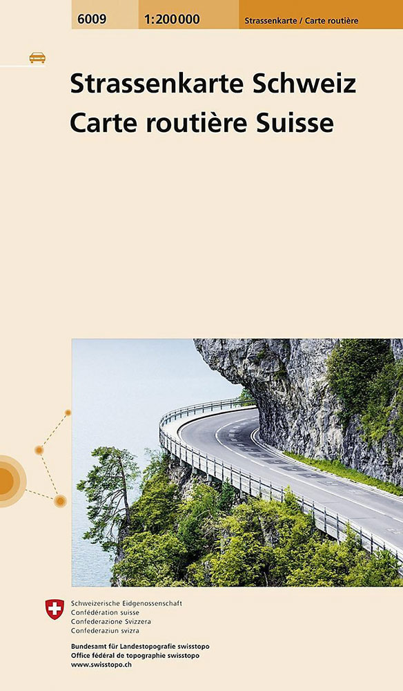
Switzerland at 1:200,000 on a double-sided road map( 2014-2015 edition) from Swisstopo, the country’s national survey organization, with exceptionally fine presentation of the country’s topography by a combination of shading and graphic relief. The map has plenty of names of mountain ranges, valleys, glaciers, etc, and numerous peaks are shown with names and heights.Colouring of the road network emphasises motorways (shown with junction names, full or partial interchanges and services). The map also indicates roads with special closing days or hours, closed roads, toll barriers, mountain passes closed in winter and SOS-roadside phones. Driving distances are marked on main routes. Locations closed to motorized traffic, such as Wengen, Zermatt or Saas-Fee are prominently highlighted. Railway lines are shown with stations and various types of mountain transport are included (cable cars, etc). Campsites are marked but the map does not indicate other places of interest. The map has a 10km grid with Swiss survey coordinates. Map legend includes English.


