Disclosure : This site contains affiliate links to products. We may receive a commission for purchases made through these links.
France K+F Road Map
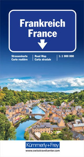
Double-sided touring map clearly presenting the country`s motorway network and major roads. The map highlights France`s numerous national and regional parks, as well as places of interest and natural features worth seeing. Special enlargements show the Paris area and road access to Lyon, Marseille and Nice in greater detail.The map provides good coverage of the neighbouring countries: southern England from Bristol to London and the Channel ports, all of Belgium, southern Netherlands, Germany from the Ruhr to Frankfurt and the Black Forest, Switzerland as far as Zurich and Lucerne, Italy to east of Milan and Genoa, and Spain as far as Barcelona and Zaragoza. A separate index, attached to the map cover, includes a distance table. Map legend includes English.This map is also available with a CD route planner for ten European countries.

Related Products:
 France, Belgium, Luxembourg and the Netherlands AA Glovebox Atlas
 France, Belgium & the Netherlands Philip`s Road Atlas
 France, Belgium & the Netherlands AA Road Map
 France, Belgium and Netherlands NGS Executive Wall Map PAPER
 Switzerland ACS Road Map 2022
Europe Railway & Road ITMB
Switzerland ACS Road Map 2022
Europe Railway & Road ITMB
 Germany West F&B
 Western Europe Railroad & Road ITMB
Germany – Austria – Switzerland Falk Road Atlas 2021/2022
Western Europe Railroad & Road ITMB
Germany – Austria – Switzerland Falk Road Atlas 2021/2022
 Switzerland Marco Polo Road Map
Switzerland ACS Road Map 2021
Switzerland Marco Polo Road Map
Switzerland ACS Road Map 2021
 Switzerland Swisstopo National Map
 National Geographic France Belgium and the Netherlands – Published 1960
 Black Forest – Lake Constance K+F Road Map
 Germany and Benelux Inland Waterways Map
 Alsace – Vosges K+F Road Map
 Germany North ITMB
 France & Belgium Philip`s Road Map
 France, Belgium and Netherlands NGS Executive Wall Map ENCAPSULATED
 Benelux – North France Michelin Road Atlas SPIRAL-BOUND
 Italy North K+F Road Map
 Germany & Netherlands Philip`s Road Map
 Italy K+F Double-Sided Road Map
 Black Forest – Karlsruhe To Zurich Falk Regional Map 14
 France, Belgium and Netherlands NGS Classic Wall Map PAPER
 Germany – Austria – Switzerland ADAC Super Road Atlas 2020/2021
 Carte de France 1804
 Netherlands & Belgium ITMB
 France South-East IGN Road Map 804
 Hiking and Cycling in the Black Forest: Walks, treks and cycle rides in southern Germany
 Europe F&B Compact Road Atlas
 France North-East IGN Road Map 2020
 Italy North Hallwag Road Map
 Railway City Map Europe
 Germany – Austria – Switzerland F&B Road Atlas
 Lonely Planet Germany, Austria & Switzerland`s Best Trips
 Benelux Michelin
 France, Belgium and Netherlands NGS Classic Wall Map LAMINATED
 Germany South Hallwag Road Map