Disclosure : This site contains affiliate links to products. We may receive a commission for purchases made through these links.
La Brenne Parc Naturel Rรฉgional IGN 83309
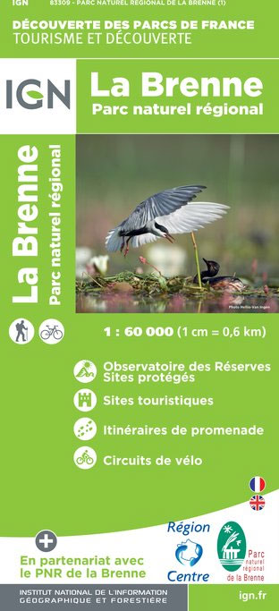
Parc Naturel Rรฉgional de la Brenne east of Poitiers on a detailed map at 1:60,000 prepared by the IGN in collaboration with the park authorities, the FFRP and various tourist organizations. Current edition of this map was published in summer 2014.The map highlights numerous local and long-distance hiking trails, including specially selected most beautiful walks in the park area. Also marked are cycling circuits and local Voies Vertes ‘“ the Green Routes. Icons indicate various tourist facilities and places of interest, mostly within the park boundary but also in the surrounding area, including cultural sites, sport and recreational facilities, nature observation sites, etc. Cartography is derived from IGN’s Top 100 series, without contours but with colouring for different types of vegetation. Map legend includes English.PLEASE NOTE: please click on the series link to see the list of other currently available titles in this series of recreational maps from the IGN, plus advice from Stanfords on the best coverage of France by hiking maps from other publishers.


