Disclosure : This site contains affiliate links to products. We may receive a commission for purchases made through these links.
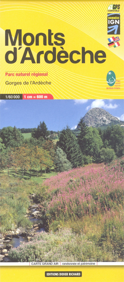
Monts d`Ardรจche Didier Richard

Monts d`Ardรจche, including the Gorges of the Ardรจche, at 1:60,000 on a contoured and GPS compatible map from Didier Richard with a base derived from IGN’s topographic survey, highlighting both local hiking routes and the GR network of long-distance paths, gรฎtes, interesting natural and cultural sites, etc. Coverage extends from Saint-Agrรจve and Lamastre southwards to the gorges of the Ardรจche, and includes le Cheylard, Privas, Aubenas, Vallon Pont-d’Arc, Ruoms, Thueyts, Les Vans, etc.Relief is portrayed by contours at 50m intervals with additional hill shading and colouring for different types of vegetation. An overprint highlights local hiking trails, indicating routes which are part of the GR network. Bold symbols show gรฎtes d’etape and special lodgings within the area of the regional park, climbing sites, canoeing and mountain bike centres, interesting cultural or natural sites, etc. The map has a UTM grid. Map legend includes English. To see the list of all the titles in this series please click on the series link.


