Disclosure : This site contains affiliate links to products. We may receive a commission for purchases made through these links.
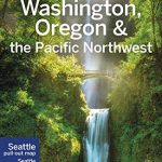
Pacific Northwest – Washington – Oregon Michelin Zoom 171
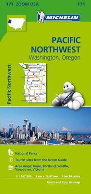
Pacific Northwest: Washington – Oregon Zoom Map from Michelin at 1:1,267,200 (1″ to 20 miles), with highlighting of All-American Roads and National Byways, Michelin’s selections of best sights and scenic routes, enlargements for the Seattle ‘“ Tacoma area and Vancouver, plus city centre street plans of Portland, Boise, and Victoria in British Columbia. Coverage extends north across the Canadian border to Whistler, east to include the Idaho Panhandle and the western part of the state, and south to northern California and Nevada with Reno.Each map in the Michelin Zoom series of USA covers a large area, presenting its topography by unobtrusive background shading with plenty of names of mountain ranges, valley, deserts, etc. Peak heights are given in feet. Colouring highlights national/state forests and other protected areas, Indian lands, and restricted entry military zones. Road network clearly distinguishes between free and toll routes and indicates toll barriers, interchange numbers, services, rest areas and Travel Centers. Road numbers are clearly marked on all types of roads and driving distances, in miles, are shown on interstate, main state and selected provincial routes. The maps show state borders and the time zone boundaries. Symbols indicate campsites, sights recommended in Michelin’s Green Guides and other places of interest. The maps have latitude and longitude lines at 1ยบ intervals. The index, arranged by state, is next to the map and also provided is a separate list of sights from the Green Guides annotated with their star ratings.Each map also contains street plans of main cities highlighting places of interest, a month-by-month list of events and celebrations, contact details for national parks, plus a distance table in both miles and kilometres.


