Disclosure : This site contains affiliate links to products. We may receive a commission for purchases made through these links.
Kaokoland – North Western Namibia InfoMap
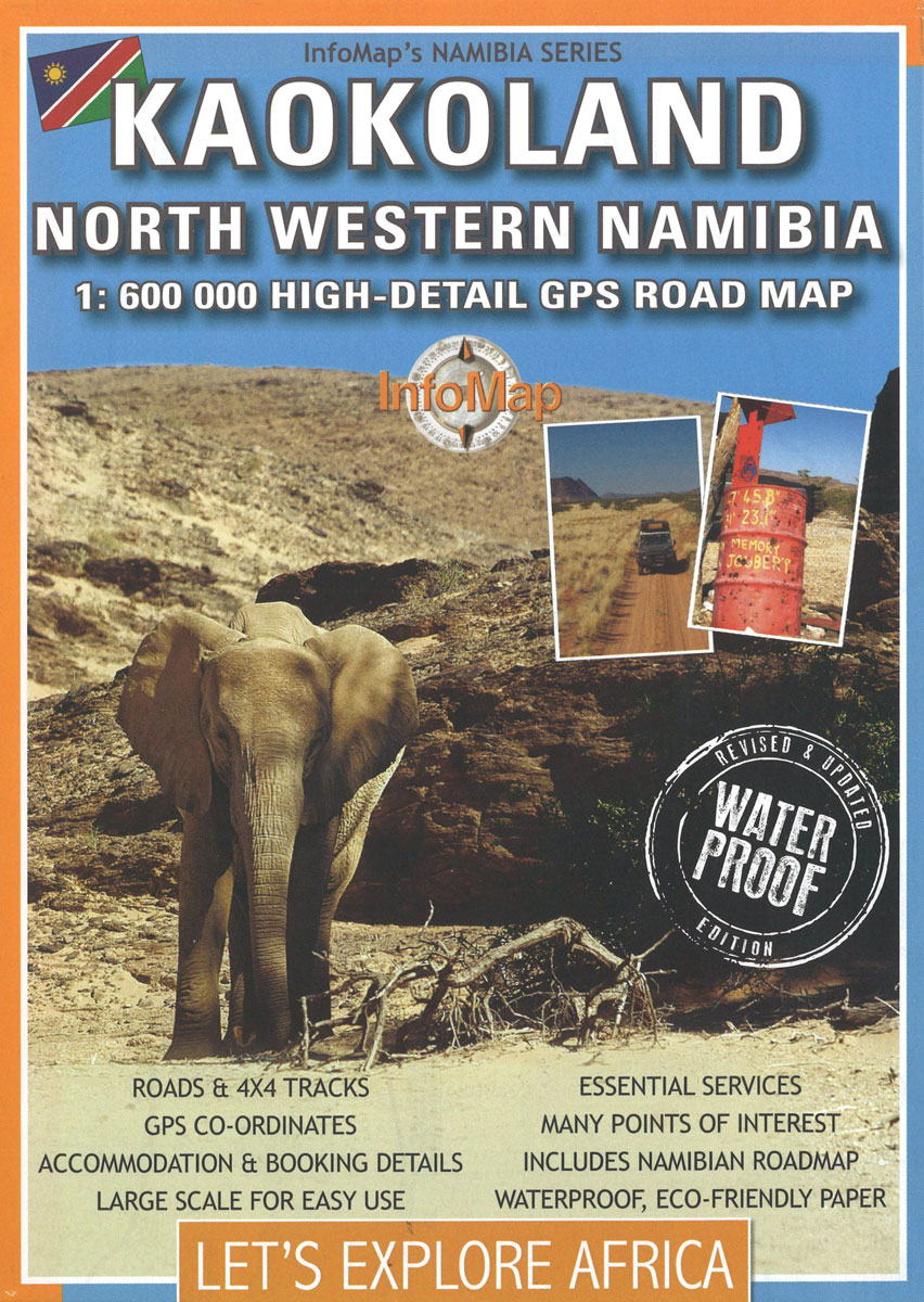
Kaokoland, the north-western corner of Namibia, at 1:600,000 on a road map from the South African publishers International Motoring Productions, annotated with numerous GPS waypoints for selected road junctions, settlements and recommended accommodation.Road classification indicates tarred roads, major and minor gravel roads and 4WD tracks, with driving distances marked on most routes and locations of fuel stations. Entry points to the Etosha National Park and the Skeleton Coast National Park are marked. Several campsites and selected other accommodation have their GPS coordinates marked directly on the map; 79 other location, mainly road junctions or small settlements are cross-referenced to the accompanying list of GPS waypoints. Latitude and longitude lines are drawn at intervals of 30’.Symbols indicate locations with access by air and/or tourist lodges and campsites, plus various points of interest. Rather simple cartography has basic elevation tinting and occasional spot heights; seasonal rivers are marked and main mountain ranges are named. Coverage further south along Namibia’s coast is provided by the publishers’ map of Damaraland which overlaps with this title.


