Disclosure : This site contains affiliate links to products. We may receive a commission for purchases made through these links.
British Empire 1905

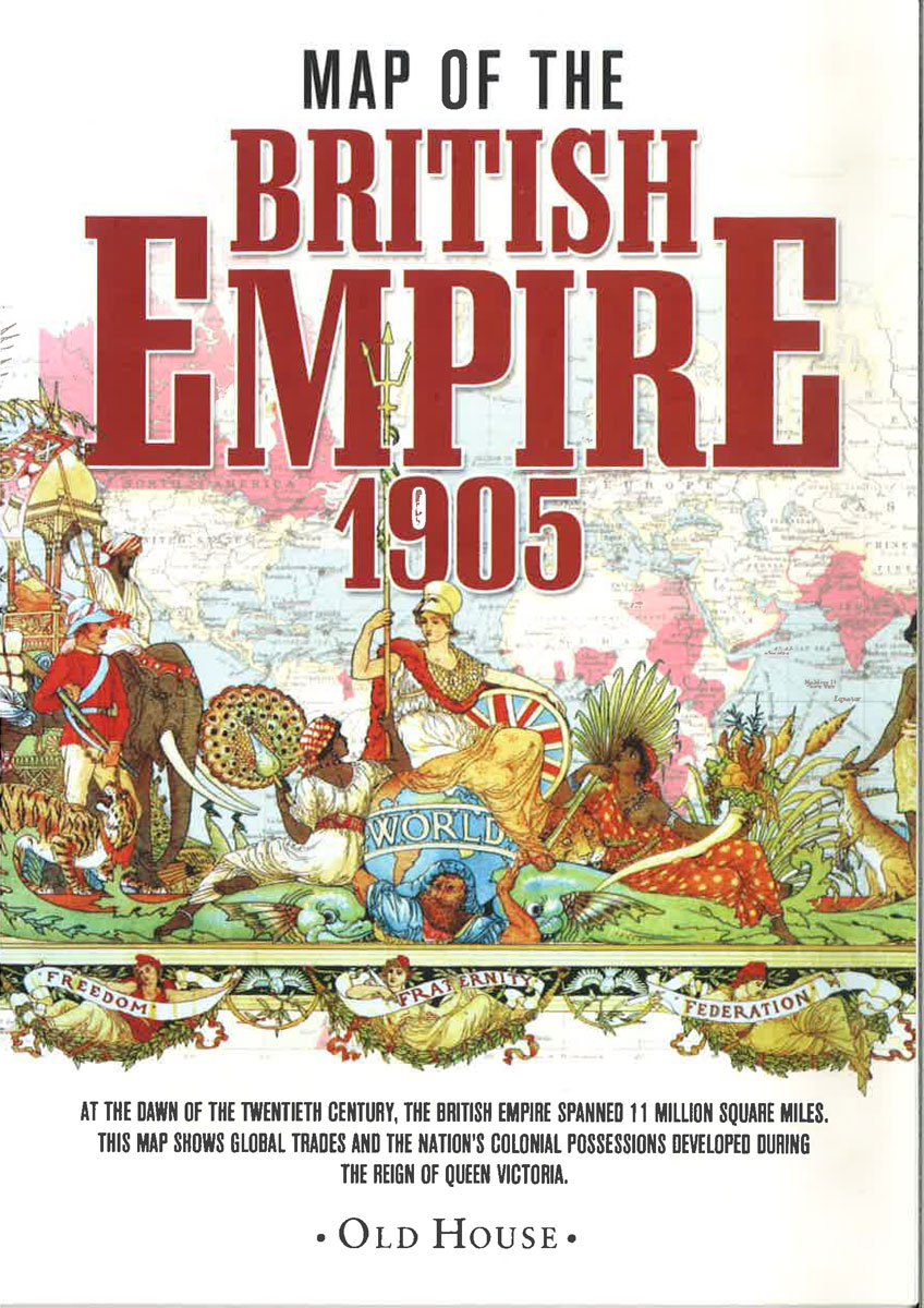
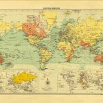
British Empire in 1905 on a reproduction by Old House Books of a map originally published as part of The Historical and Modern Atlas of the British Empire, with panels presenting the growth of the Empire between 1603 and 1837.Colouring distinguishes between ‘British possessions” and ‘spheres of influence”, the latter shown as Egypt, present day Oman and the United Arab Emirates, the northern islands of Canada, and the Antarctic Peninsula. On land masses many areas are annotated with their principal exports (coffee, rum, furs, etc). The map also shows main shipping routes. Four panels under the map show the Empire in 1603, 1713, 1763 and 1837. The map in presented in an elegant card envelope which includes notes on The Historical and Modern Atlas of the British Empire, the Empire itself around the time of its publication, etc.


