Disclosure : This site contains affiliate links to products. We may receive a commission for purchases made through these links.
Armagh City OSNI Street Plan
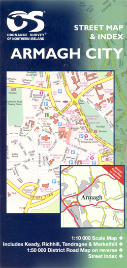
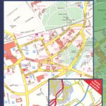
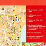
Armagh City on an indexed street plan at 1:10,000 from the Ordnance Survey of Northern Ireland, with insets covering Keady, Markethill, Richhill, and Tandragee, plus on the reverse an indexed road map at 1:50,000 of Armagh City and district.OSNI street plans highlight main traffic arteries in each town, indicating motorways, A or B roads, one way or pedestrianized streets and car parks. The plans show Sustrans National Cycle Network with route numbers, tow paths and waymarked walks. Also marked are boundaries of local government districts. Public buildings are highlighted by colour and named. Symbols indicate tourist information offices, bus and or railway stations, public toilets and golf courses. Each plan has Irish national grid lines.On the reverse the plans have an indexed road map of the relevant local government district.


