Disclosure : This site contains affiliate links to products. We may receive a commission for purchases made through these links.
Taos – Espanola – Los Alamos, NM
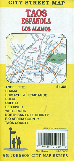
Taos – Espanola – Los Alamos, NM in a series of indexed street plans of US cities from G.M. Johnson and Associates. The main plan presents Taos and Espanola with enlargements showing each town’s downtown area in greater detail. Surrounding insets show street plans of Dulce, Red River, Questa, Chama, Angel Fire, Valle Escondido, Taos Ski Valley, Los Alamos and White Rock.On the reverse is a road map covering an area mainly west of Taos, indicating which areas are shown on street plans. Street plans from G.M. Johnson and Associates are indexed and show longer streets annotated with block numbers for easier identification of addresses. Administrative boundaries are marked but not zip code areas. Colours indicate shopping centres, university areas, parks and adjoining protected areas such as national or state forest, etc.


