Disclosure : This site contains affiliate links to products. We may receive a commission for purchases made through these links.
Chelsea NYC – High Line – Hudson Yards – West Village – Meatpacking District Red Maps
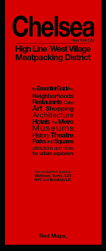
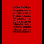
The Chelsea district of Manhattan, including the Meatpacking District and the West Village on a very detailed street plan from Red Maps in a handy concertina format, presenting each block with names of individual shops, restaurants, hotels, cultural institutions and entertainment venues, etc.The plan covers Manhattan roughly between the Pennsylvania Station and Hudson River Park, with part of the Greenwich Village west of Sixth Avenue.Each block is divided into individual buildings and where appropriate shows names of shops, restaurants, hotels, etc, all colour-coded for easier identification. Subway stations and connections are very clearly indicated.On the reverse are district-by-district thematic, colour-coded lists of various types of shops, art galleries, restaurants and cafes, etc.Red Maps also produce three other plans of Manhattan: most of the borough including Haarlem and more detailed maps of Midtown and SoHo, plus a plan of Brooklyn.To see other street plans from Red Maps with similar presentation please click on the series link.


