Disclosure : This site contains affiliate links to products. We may receive a commission for purchases made through these links.
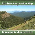
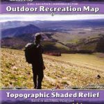
Tobacco Root Mountains Outdoor Recreation Map
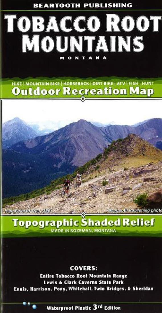
Outdoor recreation map, topographic recreation map printed on waterproof plastic paper. covers entire Tobacco Root mountain range: Lewis and Clark Caverns State Park, Ennis, Harrison, Pony, Whitehall, Twin Bridges, and Sheridan.The Tobacco Root Mountains, located between Bozeman and Butte, is one of the most scenic ranges in Montana. Everyone who recreates here immediately puts this range on their list of favorite places. From rolling sagebrush hillsides to rugged alpine peaks and lakes, the scenery is as varied as it is great. The variety of trails allows for a great experience for every user group. Hikers will find several high elevation trails to alpine lakes. Mountain bikers can choose from a few loop rides which are among the best in Montana, or can ride the trails to alpine lakes. About two dozen trails are open to motorcyclists, while about a dozen are open to ATVers.

Related Products:
 Crazy Mountains Outdoor Recreation Map
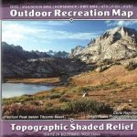
 Beartooth Mountains Outdoor Recreation Map
 Big Sky Area Outdoor Recreation Map
 Bozeman – Big Sky – West Yellowstone Outdoor Recreation Map
 Wind River Range North Outdoor Recreation Map
 Bozeman Area Outdoor Recreation Map
 Wind River Range South Outdoor Recreation Map
 Superstition Wilderness Outdoor Recreation Map
 Wind River Range Outdoor Recreation Map
 Sedona Singletrack AZ Outdoor Recreation Map
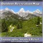 Teton Range – Core Trails WY Outdoor Recreation Map
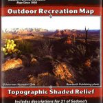 Sedona Outdoor Recreation Map
 Yellowstone National Park Outdoor Recreation Map
 Yellowstone North WY/MT Outdoor Recreation Map
 Absaroka Beartooth Wilderness Outdoor Recreation Map
 Grand Teton NP – Jackson Hole WY Outdoor Recreation Map
 Yellowstone South WY/MT/ID Outdoor Recreation Map
 Montana Benchmark Recreation Map
 Moon Wisconsin (Eighth Edition): Lakeside Getaways, Scenic Drives, Outdoor Recreation
 Alaska Benchmark Road & Recreation Atlas
 Montana Benchmark Road & Recreation Atlas
 Moon Michigan (Seventh Edition): Lakeside Getaways, Scenic Drives, Outdoor Recreation
 Moab North Outdoor Recreation Map UT
 Moab South Outdoor Recreation Map UT
 Colorado Benchmark Recreation Map
 Pennsylvania Recreation Atlas
 The Sound of Mountains
 Arizona Benchmark Recreation Map
 Greater Yellowstone & Grand Teton Benchnark Maps Recreation Atlas & Guide
 Wyoming Recreation Map
 Upper Central Rhine – Koblenz to Bingen – Loreley – Rรผdesheim K+F Outdoor Map 32
 Teutoburg Forest K+F Outdoor Map 45
 Tegernsee – Schliersee K+F Outdoor Map 5
Starnberger See – Ammersee K+F Outdoor Map 27
Tegernsee – Schliersee K+F Outdoor Map 5
Starnberger See – Ammersee K+F Outdoor Map 27
 The Great Wide Open: Outdoor Adventure & Landscape Photography
 Pfaffenwinkel – Peissenberg – Weilheim K+F Outdoor Map 28
 Bad Tรถlz – Lenggries – Isarwinkel K+F Outdoor Map 4
 Rรผgen – Hiddensee – Stralsund K+F Outdoor 14
Berchtesgaden ‘“ Bad Reichenhall ‘“ Kรถnigsee K+F Outdoor Map 8
Rรผgen – Hiddensee – Stralsund K+F Outdoor 14
Berchtesgaden ‘“ Bad Reichenhall ‘“ Kรถnigsee K+F Outdoor Map 8
 Hanover – Steinhuder Meer – Deister K+F Outdoor Map 57