Disclosure : This site contains affiliate links to products. We may receive a commission for purchases made through these links.
Australia – State Capitals Street & Suburbs Hema
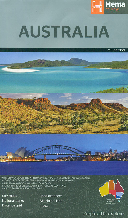
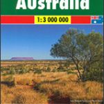
An indexed overview road map of Australia at 1:4,500,000 from Hema, with very clear presentation of the road network indicating nature or Aboriginal protected areas, plus on reverse city centre street plans and/or through road maps of the state capitals and Canberra.The map shows Australia’s network of main and connecting state roads, including Outback tracks, on a base with light, unobtrusive relief shading and plenty of names of mountain ranges, deserts, rivers, etc. Numerous national or state parks and other protected areas are highlighted, and colouring also indicates Aboriginal Lands. Highways are shown with their names and numbers (e.g. Princes Highway/A1), and driving distances are marked on main and many smaller roads and tracks. In the Outback areas the map also shows roadhouses or fuel shops. Special highlighting marks the Bicentennial Trail from Cooktown in northern Queensland to Healesville near Melbourne. Also shown are the main railway lines. The map has latitude and longitude lines at 2ยบ intervals, an index, plus a distance table On the reverse are very clear city centre (CBD) street plans of Adelaide, Brisbane, Canberra, Darwin, Hobart, Melbourne and Perth, plus throughroad maps showing the suburbs of all these cities except Hobart.


