Disclosure : This site contains affiliate links to products. We may receive a commission for purchases made through these links.
UK in Maps (Collins Primary Atlases)
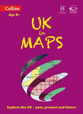
This multi-topic atlas of the UK introduces the most relevant topics to reflect the Geography Key Stage 2-3 requirements of the National Curriculum. This collection of maps can be used to investigate different themes and topics. It tells a story in maps, diagrams, charts, words and photographs each of which presents information to compare and examine. Ideal for age 8+, with free downloadable activities. We live on a remarkable planet and this atlas helps us to make sense of the UK today and understand how things came to be as well as how they might change in years to come. Suggested activities on each spread encourage users to explorer further. Explore the range with World in Maps also available.

Related Products:
 World in Maps (Collins Primary Atlases)
 Collins Primary Atlas (Collins School Atlases)
 Collins School Atlas (Collins Primary Atlases)
 Collins Primary Atlas
 Collins School Atlas (Collins School Atlases)
 Collins World Atlases
 Oxford Primary Atlas
 Trinidad and Tobago Collins School Atlas
 Atlas: A World of Maps from the The British Library
 Great Britain: A-Z Visitors` Maps and Atlases
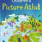 Collins Children`s Picture Atlas
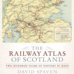 The Railway Atlas of Scotland: Two Hundred Years of History in Maps
 Benelux: Michelin Regional Road Maps and Atlases
 Journey Through Wine: An Atlas: 56 Countries, 100 Maps, 8000 Years of History
 Collins First Atlas age 4+
 Brilliant Maps: An Atlas for Curious Minds
 The Ultimate Adventure Atlas of Earth: Maps, Games, Activities, and More for Hours of Extreme Fun!
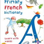 Collins Primary French Dictionary: Learn with words
 Antarctic Atlas: New Maps and Graphics That Tell the Story of A Continent
 Collins World Atlas: Essential Edition
 Collins World Atlas: Illustrated Edition
 Collins World Atlas: Paperback Edition
 Ireland: Collins Road Atlases
 Europe Collins Handy Road Atlas
 Insight World Atlases
 Canada: MapArt/Canadian Cartographics Corporation Cities and Regions Street Maps and Road Atlases
 Ordnance Survey Explorer Maps: Complete Set
 Terra Incognita: 100 Maps to Survive the Next 100 Years
 London: A-Z Street Atlases and Maps
 The Times World Atlases
 Great Britain: A-Z Regional Road Maps and Atlases
 Middle East: Explorer Publishing Maps, Atlases and Street Plans
 The Atlas of Great Journeys: The Story of Discovery in Amazing Maps
 Maps – Finding Our Place In The World
Canada: MapArt / Canadian Cartographics Corporation Provincial and Regional Road Maps and Atlases
Maps – Finding Our Place In The World
Canada: MapArt / Canadian Cartographics Corporation Provincial and Regional Road Maps and Atlases
 Talking Maps
 Collins Gem Greek Phrasebook and Dictionary
 Collins Gem Italian Phrasebook and Dictionary
 Collins Gem Portuguese Phrasebook and Dictionary
 Collins Gem Spanish Phrasebook and Dictionary