Disclosure : This site contains affiliate links to products. We may receive a commission for purchases made through these links.
Britain`s Tudor Maps: County by County
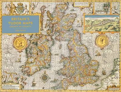
Shortlisted for a 2016 Edward Standford Travel Writing Award.A stunning new edition of the earliest atlas of the British Isles. Britain`s Tudor Maps: County by County reproduces the maps of John Speed`s 1611 collection The Theatre of Great Britaine in large, easy-to-read format for the first time. Compiled from 1596, these richly detailed maps show each county of Great Britain individually and as they existed at the time, complete with a wealth of heraldic decoration, illustrations and royal portraits. With an introduction by the bestselling author Nigel Nicholson, each map is presented alongside a fascinating commentary by Alasdair Hawkyard, elaborating on both the topographical features and the social conditions of each county at the time, enabling an examination of how the physical and social landscape has been transformed over time.

Related Products:
 Great Britain: Speede County Maps of Great Britain
 Victorian Maps of England: The county and city maps of Thomas Moule
 Great Britain: Philip`s “Red Books” Regional and County Tourist Maps
 Old Folding Maps Reproductions of Letts 1884 English County Maps
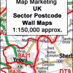 Great Britain & Northern Ireland: Map Marketing Postcode Sector Maps
 Great Britain: Victorian England & Wales 1897 Maps from the Old House Books
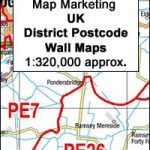 Great Britain: Map Marketing District Postcode Maps
 Great Britain & Northern Ireland: Philip`s County Street Atlases
 Great Britain: OS Administrative Maps
 The London County Council Bomb Damage Maps 1939-1945
 Great Britain Collins Nicholson Inland Waterways Map
 Great Britain: A-Z County Street Atlases
 Great Britain: Sustrans/CycleCity Cycling Maps of Great Britain & Northern Ireland
 Great Britain: Footprint Maps with Day Walks
 Great Britain: Footprint Maps of Long-distance Cycling Routes
 Great Britain: Maps International British Isles Planning Map ENCAPSULATED
 Great Britain: CroydeCycle Cycling Maps of the West Country
 Great Britain: Reproductions of Old City Maps from the Old House Books
 Great Britain Constituency Maps 2017
 Great Britain: Inland Waterways` Maps
County Donegal c1884
County Dublin c1884
County Durham c1884
County of Edinburgh c1882
Kent 1801 County Map
Great Britain: Inland Waterways` Maps
County Donegal c1884
County Dublin c1884
County Durham c1884
County of Edinburgh c1882
Kent 1801 County Map
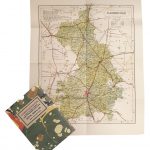
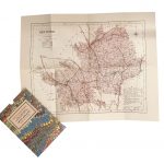
 Oxfordshire 1884 Letts County Map
 Cambridgeshire 1884 Letts County Map
 Hertfordshire 1884 Letts County Map
Buckinghamshire 1884 Letts County Map
Hertfordshire 1884 Letts County Map
Buckinghamshire 1884 Letts County Map
 Cumberland 1884 Letts County Map
Berkshire 1884 Letts County Map
Surrey 1884 Letts County Map
Cumberland 1884 Letts County Map
Berkshire 1884 Letts County Map
Surrey 1884 Letts County Map
 Sussex 1884 Letts County Map
Kent 1884 Letts County Map
Cornwall 1884 Letts County Map
Northumberland 1884 Letts County Map
Westmoreland 1884 Letts County Map
Hampshire 1801 County Map SMALL
Sussex 1884 Letts County Map
Kent 1884 Letts County Map
Cornwall 1884 Letts County Map
Northumberland 1884 Letts County Map
Westmoreland 1884 Letts County Map
Hampshire 1801 County Map SMALL
 Great Britain: A-Z Five Miles to One Inch Road Maps
 Great Britain: Michelin Regional Tourist Maps