Disclosure : This site contains affiliate links to products. We may receive a commission for purchases made through these links.
East Bierley 1905
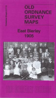
East Bierley in 1905 in a fascinating series of reproductions of old Ordnance Survey plans in the Alan Godfrey Editions, ideal for anyone interested in the history of their neighbourhood or family. The map covers the village of East Bierley at the northern tip of today`s Kirklees. Features include Toftshaw, New Toftshaw, Shetcliffe Mills, Tong Cemetery, Montserrat House, Red Hill Colliery, Cross Pit, GNR Gildersome Branch, Hunsworth Hill, Mill Carr Hill, GNR Pudsey & Low Moor Branch, Cheesecake House, Eight Horse Incline, Victoria Incline etc. About the Alan Godfrey Editions of the 25″ OS Series:Selected towns in Great Britain and Ireland are covered by maps showing the extent of urban development in the last decades of the 19th and early 20th century. The plans have been taken from the Ordnance Survey mapping and reprinted at about 15 inches to one mile (1:4,340). On the reverse most maps have historical notes and many also include extracts from contemporary directories. Most maps cover about one mile (1.6kms) north/south, one and a half miles (2.4kms) across; adjoining sheets can be combined to provide wider coverage.FOR MORE INFORMATION AND A COMPLETE LIST OF ALL AVAILABLE TITLES PLEASE CLICK ON THE SERIES LINK.

Related Products:
 Bradford Odsal & Low Moor 1905
 Tong 1905
 Glasgow North East 1893
 Tavistock 1905
Ivybridge 1905
Ossett Central 1905
Looe 1905
Tavistock 1905
Ivybridge 1905
Ossett Central 1905
Looe 1905
 Croydon East: Coombe Park & Addiscombe Road 1895 – 158
Rutherglen East 1910
Bangor East 1901
Croydon East: Coombe Park & Addiscombe Road 1895 – 158
Rutherglen East 1910
Bangor East 1901
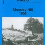 Mossley Hill 1905
East Boldon 1895
Halifax Ovenden Cross 1905
Mossley Hill 1905
East Boldon 1895
Halifax Ovenden Cross 1905
 Bromley Common and North-East Hayes 1895
Crook East 1896
Abram 1905
Halifax: Mixenden and South Illingworth 1905
Halesowen (East) 1913 – 5.13b
Craigendoran and Helensburgh East 1897
Bromley Common and North-East Hayes 1895
Crook East 1896
Abram 1905
Halifax: Mixenden and South Illingworth 1905
Halesowen (East) 1913 – 5.13b
Craigendoran and Helensburgh East 1897
 East Finchley 1894 – 10.2
East Jarrow 1913
Horbury 1905
Hetton-le-Hole and East Rainton 1895
Boscastle 1905
Maldon (East) 1920 – 56.13
East Ham & Barking 1915 – 44.3
East Finchley 1894 – 10.2
East Jarrow 1913
Horbury 1905
Hetton-le-Hole and East Rainton 1895
Boscastle 1905
Maldon (East) 1920 – 56.13
East Ham & Barking 1915 – 44.3
 East Dulwich & Peckham Rye 1914 – 117.3
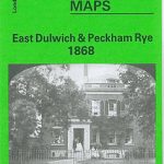 East Dulwich & Peckham Rye 1868 – 117.1
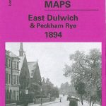 East Dulwich & Peckham Rye 1894 – 117.2
East Tanfield and Causey Arch 1895
Colwyn Bay South East 1911
Glasgow East End 1893
East Dulwich & Peckham Rye 1894 – 117.2
East Tanfield and Causey Arch 1895
Colwyn Bay South East 1911
Glasgow East End 1893
 Poynton West 1896
 Heckmondwike 1905
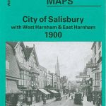 City of Salisbury with West Harnham & East Harnham 1900 – 66.15
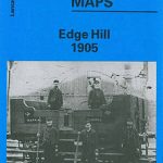 Liverpool Edge Hill 1905
 Sedgley South-East with Swan Village and West Coseley 1901
 Newquay East 1933
Barnsley North East 1904
Newquay East 1933
Barnsley North East 1904
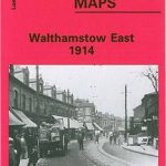 Walthamstow (East) 1914 – 15.3