Disclosure : This site contains affiliate links to products. We may receive a commission for purchases made through these links.
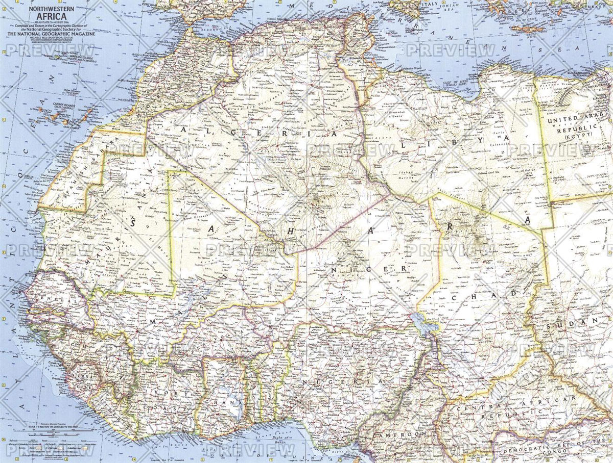
MapSherpa POD Northwestern Africa – Published 1966 633 x 478 mm
Related Products:
 MapSherpa POD Philippines – Published 1905 606 x 913 mm
 MapSherpa POD Pacific Ocean – Published 1952 947 x 735 mm
 MapSherpa POD Races of Europe – Published 1918 644 x 553 mm
 MapSherpa POD Pacific Islands – Published 1962 634 x 479 mm
 MapSherpa POD Pacific Ocean Floor – Published 1969 632 x 480 mm
 National Geographic Europe Map with Africa and Asia – Published 1915 796 x 719 mm
 National Geographic Africa Map with portions of Europe and Asia – Published 1922 721 x 798 mm
 A History of Malawi: 1859-1966
 Admiralty Chart JP187 – Nippon Northwestern part of Kyushu
 Africa: Eye on Africa – Thirty Years of Africa Images, Selected by Salgado Himself
 Florence: The Extent of the Flood in November 1966
 Sting Like A Bee: Muhammad Ali vs. the United States of America, 1966-1971
 Admiralty Chart 1966 – Carupano to Punta Gallinas including Isla Aves
 MapSherpa POD World Classic Pacific Centered
 MapSherpa POD Antique Style World map – Large 1333 x 766 mm
 MapSherpa POD Antique Style World Map – Medium 1023 x 598 mm
 MapSherpa POD World Executive Pacific Centered 1166 x 773 mm
 MapSherpa POD Antique Style World map – Large 1333 x 766 mm CANVAS
 Southern Africa: South Africa – Swaziland – Nambia – Botswana – Zambia
 MapSherpa POD Antique Style World Map – Huge 2000 x 1150 mm canvas
 MapSherpa POD Antique Style World Map – Huge 2000 x 1150 mm encapsulated
 MapSherpa POD Antique Style World map – Large 1333 x 766 mm CANVAS, with grips
 Hotel Africa: New Short Fiction from Africa
 Water: New Short Story Fiction from Africa: An Anthology from Short Story Day Africa
 Africa: Birding Map of Southern Africa
 Africa: IGN 1:1,000,000 Topographic Maps of NW Africa
 The Last Summer: (Previously published in the UK as Boundary)
 National Geographic Germany – Published 1959
 National Geographic Hawaii – Published 1960
 National Geographic Europe – Published 1962
 National Geographic Europe – Published 1977
 National Geographic Manhattan – Published 1990
 National Geographic The Alps – Published 1985
 MapSherpa POD Physical World Map – Atlas of the World 10th Edition 711 x 559 mm
 National Geographic India and Burma – Published 1946
 National Geographic Europe and the Near East – Published 1949
 National Geographic Heavens – Published 1957 1068 x 711 mm
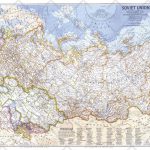 National Geographic Soviet Union – Published 1976 939 x 579 mm
 National Geographic South America – Published 1921
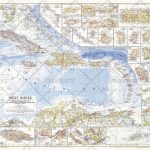 National Geographic West Indies – Published 1954 949 x 735 mm


