Disclosure : This site contains affiliate links to products. We may receive a commission for purchases made through these links.
NOAA Charts for New York Harbor and Hudson River

Related Products:
 NOAA Chart 12343 – Hudson River’”New York to Wappinger Creek
 NOAA Chart 12343 – Hudson River New York to Wappinger Creek
 NOAA Chart 12347 – Hudson River’”Wappinger Creek to Hudson
 NOAA Chart 12347 – Hudson River Wappinger Creek to Hudson
 NOAA Chart 14829 – Geneva to Lorain (Metric) – Beaver Creek – Rocky River – Mentor Harbor – Chagrin River Harbor
 NOAA Chart 14863 – Saginaw Bay – Port Austin – Caseville Harbor – Sebewaing Harbor – Entrance to Au Sable River – Tawas Harbor
 NOAA Chart 14965 – Redridge to Saxon Harbor – Ontonagon Harbor – Black River Harbor – Saxon Harbor
 NOAA Chart 14825 – Ashtabula to Chagrin River – Mentor Harbor – Chagrin River Harbor
 Admiralty Chart 3454 – New York Hudson River Hoboken to Edgewater
 NOAA Chart 13274 – Portsmouth Harbor to Boston Harbor – Merrimack River Extension
 NOAA Chart 12346 – Hudson River’”Yonkers to Piermont
 NOAA Chart 12348 – Hudson River’”Coxsackie to Troy
 NOAA Chart 12348 – Hudson River Coxsackie to Troy
 NOAA Charts for San Francisco Bay and Sacramento River
 NOAA Chart 14811 – Chaumont, Henderson and Black River Bays – Sackets Harbor – Henderson Harbor – Chaumont Harbor
 NOAA Charts for Cape Hatteras to Delaware River
 NOAA Charts for Texas from Rio Grande to Sabine River
 NOAA Chart 12345 – Hudson River’”George Washington Bridge to Yonkers
 NOAA Chart 19353 – Harbors of Moloka`i – Kamalo Harbor – Kaunakakai Harbor – Kolo Harbor – Lono Harbor – Puko`o Harbor
 NOAA Chart 12341 – Hudson River’”Days Point to George Washington Bridge
 NOAA Chart 14962 – St. Marys River to Au Sable Point – Whitefish Point Harbor – Little Lake Harbor – Grand Marais
 NOAA Chart 13286 – Cape Elizabeth to Portsmouth – Cape Porpoise Harbor – Wells Harbor – Kennebunk River – Perkins Cove
 NOAA Chart 12253 – Norfolk Harbor and Elizabeth River – Norfolk Inner Harbor
 NOAA Chart 12327 – New York Harbor
 NOAA Chart 14964 – Big Bay Point to Redridge – Grand Traverse Bay Harbor – Lac La Belle Harbor – Copper Harbor – Eagle Harbor
 NOAA Chart 13309 – Penobscot River – Belfast Harbor
 NOAA Chart 13281 – Gloucester Harbor and Annisquam River
 NOAA Chart 13227 – Fall River Harbor – State Pier
 Charts for Hudson Bay, Baffin Island and Adjacent waters
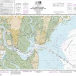 NOAA Chart 11506 – St. Simons Sound, Brunswick Harbor and Turtle River
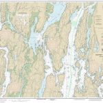 NOAA Chart 13296 – Boothbay Harbor to Bath, Including Kennebec River
 NOAA Chart 14839 – Cleveland Harbor, including lower Cuyahoga River
 NOAA Chart 14975 – Duluth-Superior Harbor – Upper St. Louis River
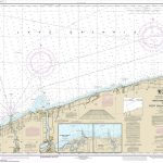 NOAA Chart 14806 – Thirtymile Point, New York, to Port Dalhousie, Ontario – Olcott – Wilson Harbor
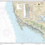 NOAA Chart 11429 – Chatham River to Clam Pass – Naples Bay – Everglades Harbor
 NOAA Chart 12216 – Cape Henlopen to Indian River Inlet – Breakwater Harbor
 NOAA Chart 12289 – Potomac River’”Mattawoman Creek to Georgetown – Washington Harbor
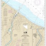 NOAA Chart 14815 – Rochester Harbor, including Genessee River to head of navigation
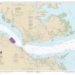 NOAA Chart 12241 – York River’”Yorktown and Vicinity
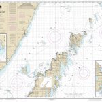 NOAA Chart 14909 – Upper Green Bay – Detroit Harbor – Jackson Harbor – Baileys Harbor


