Disclosure : This site contains affiliate links to products. We may receive a commission for purchases made through these links.
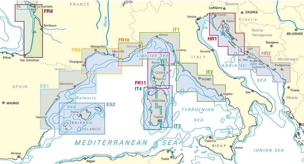
NV Charts – Croatia and Montenegro Chart Atlases
Related Products:
 NV Charts – Mediterranean Spain Chart Atlases
 Croatia/Montenegro: MairDumont Marco Polo 200K Road Maps of the Dalmatian Coast
 Croatia – Montenegro Coast Cartographia 2-Map Set
 NV Charts Inland Waterways Atlases
 Croatia & Montenegro – Adriatic Coast ExpressMap
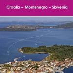 Harbour Guide Croatia, Montenegro and Slovenia
 Serbia – Bosnia-Herzegovina – Macedonia – Kosovo – Montenegro – Slovenia – Croatia
 Slovenia – Croatia – Serbia – Bosnia-Herzegovina – Macedonia – Kosovo – Montenegro F&B
 Slovenia – Croatia – Bosnia-Herzegovina – Serbia – Montenegro – North Macedonia Michelin
 777 Harbours and Anchorages ed. 2017/18 – Slovenia, Croatia, Montenegro and Albania (Eastern Adriatic)
 Chart Atlases for the Netherlands
 Chart Atlases for Germany
 Chart Atlases for the Baltic Sea
 Chart Atlases for France
 Chart Atlases for Norway
 Chart Atlases for English South Coast
 NOAA Charts for Alaska Coast (Planning Charts)
 Imray Chart A233: Virgin Islands Double-sided sheet combining charts A231 and A232: 2019
 NOAA Chart 14786 – SMALL-CRAFT BOOK CHART – New York State Canal System (book of 61 Charts)
 NOAA Chart 14886 – SMALL-CRAFT BOOK CHART – Inland Route, Cheboygan to Conway (book of 12 Charts)
 NOAA Chart 14916 – SMALL-CRAFT BOOK CHART – Lake Winnebago and Lower Fox River (book of 34 charts)
 NOAA Chart 14926 – SMALL-CRAFT BOOK CHART – Chicago and South Shore of Lake Michigan (book of 30 charts)
 NOAA Chart 14846 – SMALL-CRAFT BOOK CHART West End of Lake Erie (book of 34 charts) V
 NOAA Chart 14842 – SMALL-CRAFT BOOK CHART South Shore of Lake Erie – Port Clinton to Sandusky, including the Islands (book of 35 charts)
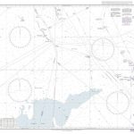 Admiralty Chart 267 – North Sea Offshore Charts Sheet 10
 Admiralty Chart 268 – North Sea Offshore Charts Sheet 9
 Admiralty Chart 272 – North Sea Offshore Charts Sheet 8
 Admiralty Chart 278 – North Sea Offshore Charts Sheet 5
 Admiralty Chart 291 – North Sea Offshore Charts Sheet 4
 Admiralty Chart 292 – North Sea Offshore Charts Sheet 3
 Admiralty Chart 294 – North Sea Offshore Charts Sheet 2
 Admiralty Chart 295 – North Sea Offshore Charts – Sheet 1
 Admiralty Chart 274 – North Sea Offshore Charts Sheet 6
 Admiralty Chart 273 – North Sea Offshore Charts Sheet 7
 Admiralty Chart 266 – North Sea Offshore Charts Sheet 11
 Montenegro de Cameros CNIG Topo 279-1
 Serbia/Montenegro: Geokarta Hiking and Recreational Maps
 Collins World Atlases
 The Times World Atlases
 Insight World Atlases


