Disclosure : This site contains affiliate links to products. We may receive a commission for purchases made through these links.
City Quickmaps

Related Products:
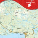
 Australia: Hema City to City Road Maps
 City of Light, City of Poison: Murder, Magic, and the First Police Chief of Paris
 No Access New York City: The City`s Hidden Treasures, Haunts, and Forgotten Places
 CITIx60 City Guides – Taipei: 60 local creatives bring you the best of the city
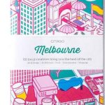 CITIx60 City Guides – Melbourne: 60 local creatives bring you the best of the city
 CITIx60 City Guides – Amsterdam: 60 local creatives bring you the best of the city
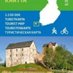
 CITIx60 City Guides – Stockholm: 60 local creatives bring you the best of the city
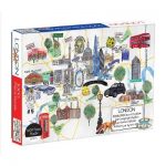
 The King`s City: London Under Charles II: A City That Transformed a Nation – And Created Modern Britain
 New York City – Brooklyn – Long Island City Red Maps
 New York City – Manhattan Michelin City Plan and Index
 Where Can I Go? Big City Explorer: Amazing World City Maps and Facts
 Salt Lake City – Park City and the Wasatch Trail Map
 City Shapers London: The Creative People Shaping the City
 VELO City: Bicycle Culture and City Life
 Medical London: City of Diseases, City of Cures
 Magnetic City: A Walker`s Companion to New York City
 Baghdad: City of Peace, City of Blood
 Montreal & Quebec City Pocket Precincts: A Pocket Guide to the City`s Best Cultural Hangouts, Shops, Bars and Eateries
 City of Light, City of Poison
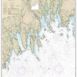
 NOAA Chart 18603 – St George Reef and Crescent City Harbor – Crescent City Harbor
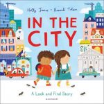 In The City
City of Sin
In The City
City of Sin
 Pop Up Above Below: The City
I am City
Pop Up Above Below: The City
I am City
 Paradise City
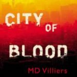 City of Blood
 How to Live in the City
 Peeking Under the City
 City of Friends
 The Spectacular City
 Big City Kitty
 Transparent City
 100 First Words: City
 Dublin Bay: City by the Sea
 My Pop-Up City Atlas
 Love in the Big City
 The Road to the City
 City of Ruins
City Notebooks
City Tales
City of Ruins
City Notebooks
City Tales