Disclosure : This site contains affiliate links to products. We may receive a commission for purchases made through these links.
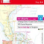
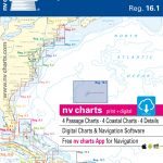
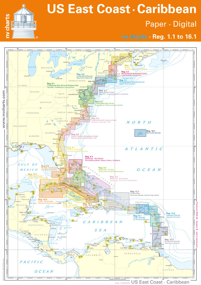
NV Charts – US East Coast
โ€
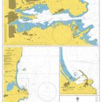
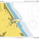
: Based on NOAA data with a new layout, clear cartography and international chart standardsโ€
: Depths and heights are charted in feetโ€
: North up chart orientationโ€
: Channel markers in red and greenโ€
: Unique color differences, blue for the 6 ft and 18 ft dephts, and green for exposed tidal areasโ€
: Contour lines for 12 ft and 30ft depthsโ€
: Under water reefs are clearly marked with a light green color and the reef above water in darker greenโ€
: Variable shoals marked in grey-blueโ€
: Lighthouses illustrate their light characteristics for better identificationโ€
: Seaworthy chart layout – perfect chart flow from one chart to the nextโ€
: Standardized chart scales – passage charts 1:340,000 โ€“ coastal charts 1:45,000 and detail charts 1:25,000 or lessโ€
: Waypoints with latitudes and longitudes for GPS inputโ€
: Recommended courses with distancesโ€
: Arrow-symbols show buoyage directionโ€
: Tide information on each chart


