Disclosure : This site contains affiliate links to products. We may receive a commission for purchases made through these links.
Chart Atlases for English South Coast
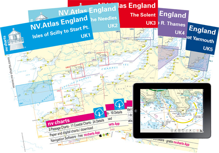
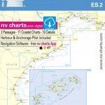
This new line of maritime chart atlases covers the whole length of the South Coast of England from Isles of Scilly to Dover. They have been produced using UKHO data. UK4 volume covers the River Thames from Blackfriars Bridge in London all the way to the estuary and UK5 volume also includes East Anglian coast up to Great Yarmouth. The atlases contain:โ€
: Passage Chartsโ€
: Coastal Chartsโ€
: Detailsโ€
: Tides and Currentsโ€
: NV Charts app codeNV Charts App allows you to download digital raster chart copies of the paper atlas in up to 5 Android or iOS devices. All instructions are in the Atlas packs with good technical support available from the NV Charts team.


