Disclosure : This site contains affiliate links to products. We may receive a commission for purchases made through these links.
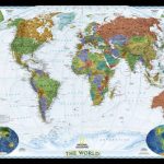
World: Freytag & Berndt Political Wall Maps
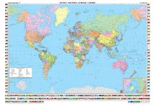
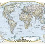
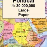
Political wall maps of the world from Freytag & Berndt in an international edition with all place names in their English versions, presenting countries in pleasant pastel colours against light blues seas. The maps are published in two sizes, 122x86cm and 176×122.5cm; both have the same number of place names and vary only in the size of the print font.On landmasses the maps show main road and rail connections; in USA, Canada, Brazil and Australia also shown are names and boundaries of states/provinces. Physical relief is indicated by names of mountain ranges, peaks, deserts, etc. Polar Regions are presented on insets, showing limits of drift ice and the ice shelf. Latitude and longitude lines are drawn at 10ยบ intervals. Boxes along the sides and the bottom of the maps show each countryโ€s flag, capital city, area and population. Map legend includes English.


