Disclosure : This site contains affiliate links to products. We may receive a commission for purchases made through these links.
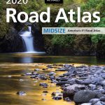
USA: Rand McNally Road Atlases 2018
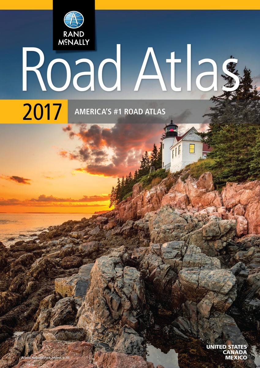
Road atlases of USA from the countryโ€s leading cartographic publishers, Rand McNally, available in either A3 or A4 size and in a paperback or a spiral-bound format. All the versions have similar cartography: road network is presented on a plain white base with colouring indicating protected areas such a national/state parks, etc. All Rand McNally atlases are arranged by state; map scale varies according to the size of the state. – Mapping in A3 formats shows more small towns and other locations than in the A4 formats, plus A3 atlases have a greater number of detailed maps for popular areas and street plans of more cities.- In the Large Scale (A3 – No.2) and the Easy Finder (A4 – No.4) titles the mapping is enlarged by 35% so all place names are in larger size print.All the atlases also include: a mileage chart plus a mileage/driving times map, mapping of Canadian provinces and an overview map of Mexico, and either a Best of the Road section or a special travel guide.Please see individual descriptions for more details of the special features.


