Disclosure : This site contains affiliate links to products. We may receive a commission for purchases made through these links.
Come by the Hills
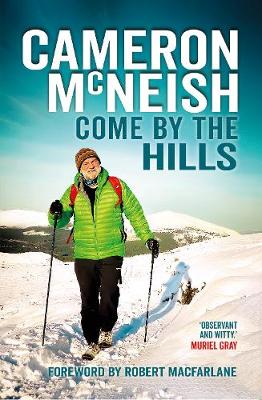
Come by The Hills follows Cameron McNeish`s popular 2018 memoir, There`s Always the Hills, and celebrates his life on the Scottish hills, his many friendships with hill-goers, writers, broadcasters and active people of all kinds.

Related Products:
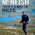 There`s Always the Hills
 The Pentland Hills
 A Life in the Hills: The Katharine Stewart Omnibus
 Coreen Hills & Glenlivet – Bennachie, Ladder Hills, Insch & RhynieOS Explorer Active Map OL62 (waterproof)
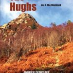 The Hughs: Scotland`s Best Wee Hills Under 2,000 Feet
 Hill Walks & Easy Summits: Walks on the Lower Hills of Loch Lomond & the Trossachs
 Coreen Hills & Glenlivet – Bennachie, Ladder Hills, Insch & Rhynie OS Explorer Map OL62 (paper)
 Wales Hill Walking – Volume 2 – Ffestiniog Hills – Tarrens
 John Merrill`s Surrey Hills Challenge Walk: 23 Mile Circular Challenge Walk Over the S.E. England`s Highest Hills, from Abinger
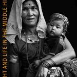 Light and Life in the Middle Hills: A Photographer`s Perspective of Life in Nepal
 The Hills of Leicestershire & Rutland: A Guide to Walking
 Green Hills of Africa
 The Surrey Hills A Dog Walker`s Guide (20 Dog Walks)
 The Hills of Wales
 The Mendip Hills – A Year in The Life
 Wales Hill Walking – Volume 1 – Arans – Dovey Hills
 Bothy Tales: Footsteps in the Scottish hills
 Black Hills North – Black Hills National Forest SD NGS Trails Illustrated Map 751
 Running for the Hills
 The Grahams & the Donalds: Scottish Mountaineering Club Hillwalkers` Guide
 The Hills of Edinburgh Signature Hike
 Walking in the Scottish Borders: Cheviots, Tweed, Ettrick, Moffat and Manor hills
 Britain`s Best Small Hills: A Guide to Short Adventures and Wild Walks with Great Views
 Over the Hills and Far Away: The Life of Beatrix Potter
 Malvern Hills Superwalker XT
 Black Hills South – Black Hills National Forest SD
 Pentland Hills Walking
 Malvern Hills & Bredon Hill – Tewkesbury, Ledbury, Pershore & Upton upon Severn OS Explorer Active Map 190 (waterproof)
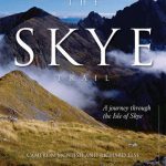 The Skye Trail
Pentland Hills Harvey Ultramap XT40
The Skye Trail
Pentland Hills Harvey Ultramap XT40
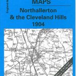 Northallerton & Cleveland Hills 1904 – 42
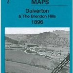 Dulverton & The Brendon Hills 1896 – 294
 Minehead and Brendon Hills 1919
 Galloway Hills Harvey Superwalker XT25
 Cheviot Hills Harvey Superwalker XT25
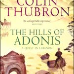 The Hills of Adonis
 Chard – Wellington & the Blackdown Hills 1896 – 311
 The Vale of Taunton & The Quantock Hills 1897 – 295
 Shame On Me: a memoir of race and belonging
 Sikkim and the Darjeeling Hills quick guide and map