Disclosure : This site contains affiliate links to products. We may receive a commission for purchases made through these links.
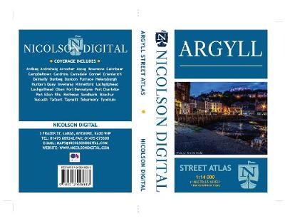
Argyll Nicolson Street Atlas

Related Products:
 Fife Nicolson Street Atlas
 Moray & Speyside Nicolson Street Atlas
Dumfries & Galloway Nicolson Street Atlas
Moray & Speyside Nicolson Street Atlas
Dumfries & Galloway Nicolson Street Atlas
 Argyll & Bute Nicolson Tourist Map
Central Lanarkshire Nicolson Street Atlas
Motherwell Nicolson Street Guide
Argyll & Bute Nicolson Tourist Map
Central Lanarkshire Nicolson Street Atlas
Motherwell Nicolson Street Guide
 Great Britain: Nicolson Street Guide Maps
Glasgow Nicolson Street Plan
Great Britain: Nicolson Street Guide Maps
Glasgow Nicolson Street Plan
 Aberdeen Nicolson Street Guide
 Inverness Nicolson Street Guide
 Glasgow Nicolson Street Guide
Ayrshire Street Atlas
Glasgow Nicolson Street Guide
Ayrshire Street Atlas
 Southampton – Portsmouth A-Z Street Atlas
 Scottish Borders Street Atlas
 Southend-on-Sea – Basildon – Billericay A-Z Street Atlas
 Exeter – Exmouth – Budleigh Salterton – Honiton – Otterton – Ottery St. Mary – Sidmouth A-Z Street Atlas
 Aberdeen Street Atlas
 Bali Street Atlas
 Surrey A-Z Street Atlas
 Aberdeen A-Z Street Atlas
 Taunton A-Z Street Atlas
 Norwich A-Z Street Atlas
 Liverpool A-Z Street Atlas
 Vienna F&B Street Atlas
 Moscow Street Atlas
 Prague Street Atlas
 Delhi Street Atlas
 Bucharest Street Atlas
 Budapest Street Atlas
 London A-Z Street Atlas
 London A-Z Big Street Atlas
 Nottingham A-Z Street Atlas
 Cardiff A-Z Street Atlas
 Southampton A-Z Street Atlas
 Edinburgh A-Z Street Atlas
 Portsmouth A-Z Street Atlas
 Bournemouth A-Z Street Atlas
 Birmingham A-Z Street Atlas
 Manchester A-Z Street Atlas
 Merseyside A-Z Street Atlas