Disclosure : This site contains affiliate links to products. We may receive a commission for purchases made through these links.
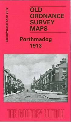
Porthmadog 1913 – 34.16

Related Products:
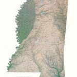
 Porthmadog and Dolgellau 1921-1922
Porthmadog and Dolgellau 1902-1903
Porthmadog and Dolgellau 1921-1922
Porthmadog and Dolgellau 1902-1903
 Lleyn Peninsula East – Porthmadog, Criccieth & Pwllheli OS Explorer Map 254 (paper)
 Lleyn Peninsula East – Porthmadog, Criccieth & Pwllheli OS Explorer Active Map 254 (waterproof)
 Porthmadog & Dolgellau OS Landranger 124
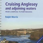 Cruising Anglesey – from Liverpool to Porthmadog
 Porthmadog & Dolgellau OS Landranger Active Map 124 (waterproof)
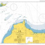
 Admiralty Chart SC5609_7 – Approaches to Porthmadog
 Wales Coast Path Official Guide 3: Llyn Peninsula: Bangor to Porthmadog
 Wales Coast Path Official Guide 4: Snowdonia & Ceredigion Coast: Porthmadog to Cardigan
 Harlech, Porthmadog & Bala / Y Bala OS Explorer OL18 ACTIVE
Hackney 1913 – 41.3
Harlech, Porthmadog & Bala / Y Bala OS Explorer OL18 ACTIVE
Hackney 1913 – 41.3
 Leicester (NE) 1913 – 31.11
Tynemouth 1913
Elswick 1913
Leicester (NE) 1913 – 31.11
Tynemouth 1913
Elswick 1913
 Highgate 1913 – 19.3
 Walsall (NE) 1913 – 63.07
Putney 1913 – 113.3
Walsall (NE) 1913 – 63.07
Putney 1913 – 113.3
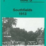 Southfields 1913 – 123.3
 Dalston 1913 – 40.3
Chelsea 1913 – 87.3
Dalston 1913 – 40.3
Chelsea 1913 – 87.3
 Ealing 1913
Tooting 1913 – 134.3
Caernarfon 1913 – 15.04
Bangor 1913 – 6.12
Criccieth 1913
Ealing 1913
Tooting 1913 – 134.3
Caernarfon 1913 – 15.04
Bangor 1913 – 6.12
Criccieth 1913
 Handsworth 1913
Tremadog 1913 – 34.12
Llanberis 1913 – 16.08
The Hawthorns 1913
Bulwell 1913 – 38.05
Handsworth 1913
Tremadog 1913 – 34.12
Llanberis 1913 – 16.08
The Hawthorns 1913
Bulwell 1913 – 38.05
 Farnham 1913
 Harlech, Porthmadog & Bala / Y Bala OS Explorer OL18
Middlesbrough North 1913
Halesowen (East) 1913 – 5.13b
Harlech, Porthmadog & Bala / Y Bala OS Explorer OL18
Middlesbrough North 1913
Halesowen (East) 1913 – 5.13b
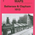 Battersea & Clapham 1913 – 101.3
Nottingham North 1913
Wylde Green 1913
Battersea & Clapham 1913 – 101.3
Nottingham North 1913
Wylde Green 1913
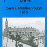 Central Middlesbrough 1913 – 6.14b
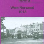 West Norwood 1913 – 136.3