Disclosure : This site contains affiliate links to products. We may receive a commission for purchases made through these links.
Tresco – Teรคn – St Helens


Related Products:
 St Helens SE 1892 – 108.01a
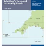 Y50 Saint Mary`s, Tresco and Surrounding Islands
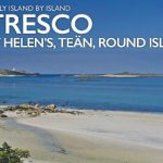 Tresco: St Helen`s, Tean and Round Island
 Liverpool – St Helens, Widnes & Runcorn OS Explorer Map 275 (paper)
 Imray Chart: Saint Marys, Tresco and Surrounding Islands 2400.14
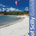 Isles of Scilly Guidebook: St Mary`s, St Agnes, Bryher, Tresco, St Martin`s
 Liverpool – St Helens, Widnes & Runcorn OS Explorer Active Map 275 (waterproof)
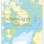 Admiralty Chart SC5603_11 – Isles of Scilly Saint Mary`s Pool to Tresco
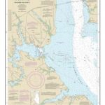
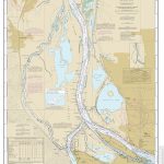 NOAA Chart 18525 – Columbia River’”Saint Helens to Vancouver
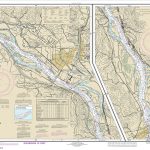 NOAA Chart 18524 – Columbia River’”Crims Island to Saint Helens
 Mount St Helens – Mount Adams – Gifford-Pinchot National Forest WA