Disclosure : This site contains affiliate links to products. We may receive a commission for purchases made through these links.
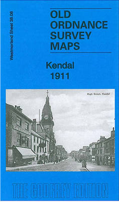
Kendal 1911 – 38.08

Related Products:
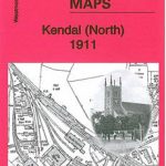 Kendal (North) 1911 – 38.04
 NW Oxfordshire 1911 – 218
 Harrogate & District 1911 – 62
 Settle & District 1911 – 60
 Kendal & Morecambe – Windermere & Lancaster OS Landranger 97
 Kendal – Morecambe – Windermere & Lancaster ACTIVE
 Barrow-in-Furness (North-East) 1911 – 21.08
 Walks around Windermere & Kendal – Newby Bridge – Staveley & Grange-over-Sands
 The English Lakes – South-Eastern Area – Windermere, Kendal & Silverdale OS Explorer OL7
 The English Lakes – South-Eastern Area – Windermere, Kendal & Silverdale OS Explorer OL7 ACTIVE
 Enfield (NW) 1911 – 7.02
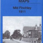 Mid Finchley 1911
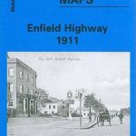 Enfield Highway 1911
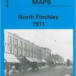 North Finchley 1911
 Croydon Woodside 1911
Colwyn Bay North 1911
Croydon Woodside 1911
Colwyn Bay North 1911
 Kirkby Stephen 1911 – 23.15
 Coombe and Norbiton 1911
 Birmingham Central 1902-1911
Colwyn Bay South East 1911
Colwyn Bay South West 1911
Leicester South West 1902-1911
Birmingham Central 1902-1911
Colwyn Bay South East 1911
Colwyn Bay South West 1911
Leicester South West 1902-1911
 Alexandra Park & South Friern 1911 – 6b
 Growing: Seven Years in Ceylon 1904-1911
East Finchley & Hampstead Garden Suburb 1894-1911 – 10.3
Growing: Seven Years in Ceylon 1904-1911
East Finchley & Hampstead Garden Suburb 1894-1911 – 10.3
 Admiralty Chart 1911 – Isola del Giglio to Isola d`Ischia