Disclosure : This site contains affiliate links to products. We may receive a commission for purchases made through these links.
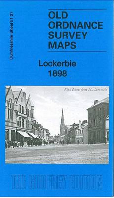
Lockerbie 1898: Dumfriesshire Sheet 51.01

Related Products:
 Moffat & Beattock 1898: Dumfriesshire Sheet 16.07
 Audley 1898: Staffordshire Sheet 11.06
 Longton (Adderley Green) 1898: Staffordshire Sheet 18.07
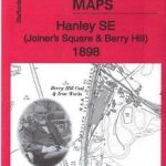 Hanley SE (Joiners Square & Berry Hill) 1898: Staffordshire Sheet 18.02
 The Dumfriesshire Dales: 40 favourite walks
 Annandale, Annan, Lockerbie & Beattock OS Explorer Map 322 (paper)
 Annandale, Annan, Lockerbie & Beattock OS Explorer Active Map 322 (waterproof)
 Leadhills: Brief Sheet Explanation for 1: 50 000 Scale Geology Map, Sheet S15e (Scotland)
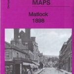 Matlock 1898 – 34.03
 Chesterfield 1898 – 25.06a
 Ripley 1898 – 40.11
 Rhyl 1898 – 1.14
 Didcot 1898 – 15.07
 Penrith 1898 – 58.04a
 Talke Pits 1898 – 11.03
 Wolverhampton & Ironbridge 1898 – 153
 Stafford & District 1898 – 139
 Lincoln & District 1898 – 114
 Grantham & Sleaford 1898 – 127
 Butterley & North Ripley 1898 – 40.07
 Cannock Chase & SE Staffordshire 1898 – 154
 Falkirk 1898
 Darlington 1898 – 55.06a
 Chester 1898
Keswick 1898
Bidston 1898
Cockermouth 1898
Annan 1898
Eyemouth 1898 – 6.13
Newbury 1898 – 43.01
Alston 1898
Campbeltown 1898 – 257.08
Nenthead 1898
Oban 1898 – 98.07
Chester 1898
Keswick 1898
Bidston 1898
Cockermouth 1898
Annan 1898
Eyemouth 1898 – 6.13
Newbury 1898 – 43.01
Alston 1898
Campbeltown 1898 – 257.08
Nenthead 1898
Oban 1898 – 98.07
 Kidsgrove 1898
 Barry 1898 – 50.04a
 Oxford 1898 – 33.15
 Newcastle-under-Lyme 1898 – 17.04b
 Eastbourne and Hastings 1898
Cirencester and Northleach 1898
Eastbourne and Hastings 1898
Cirencester and Northleach 1898