Disclosure : This site contains affiliate links to products. We may receive a commission for purchases made through these links.
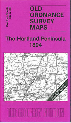
The Hartland Peninsula 1894 – 307/308
Related Products:
 Admiralty Chart NZ63 – Kaikoura Peninsula to Banks Peninsula
 Admiralty Chart NZ64 – Banks Peninsula to Otago Peninsula
 NZ64 Banks Peninsula to Otago Peninsula
 NZ63 Kaikoura Peninsula to Banks Peninsula
 Hartland & Clovelly Walking Map 11
 Clovelly & Hartland – Bideford & Bradworthy OS Explorer Map 126 (paper)
 Clovelly & Hartland – Bideford & Bradworthy OS Explorer Active Map 126 (waterproof)
 ADMIRALTY Leisure Folio SC 5603 – Falmouth To Hartland Point
 Admiralty Chart SC5608_1 – Hartland Point to Worms Head
 Admiralty Chart SC5608_4 – Hartland Point to Lundy and Ilfracombe
 Admiralty Chart 1156 – Trevose Head to Hartland Point
 Admiralty Leisure Folio SC5603 – Falmouth To Hartland Point SUPERCEDED
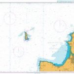 Admiralty Chart 1164 – Hartland Point to Ilfracombe including Lundy
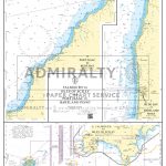 Admiralty Chart SC5603_15 – Falmouth to Isles of Scilly and Port Isaac to Hartland Point
 Golfing in the Cape Peninsula
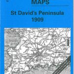 St. David`s Peninsula 1909 – 192/209
 Admiralty Chart SC5603_1 – Lizard Point to Hartland Point – Porthallow to Porthoustock
 Leslie 1894 – 27.03
 Kinghorn 1894 – 40.08
 Aberdour 1894 – 40.09
 Runcorn 1894 – 115.13a
 Burntisland 1894 – 40.06
 Gospel Oak 1894 – 28.1
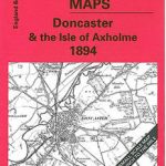 Doncaster 1894 – 88
 The Lizard 1894 – 359
 Yiewsley 1894
 Cupar 1894: Part 2
 Hillingdon (North) 1894
 Glasgow (Hillhead) 1894 – 6.06a
 Glasgow Green 1894 – 6.15a
 Muswell Hill 1894 – 11.2
 Mevagissey 1894-1905 – 353
 Cranborne Chase 1894 – 314
 Brighton & District 1894 – 318
 Gateshead South 1894 – 23a
 Monterey Peninsula and Bay Area CA Global Graphics
 Modern Palestine & the Sinai Peninsula c.1900
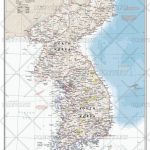 National Geographic Korean Peninsula Classic
 NOAA Charts for Alaska Peninsula to Kuskokwim Bay
 Holsworthy & the Upper Tamar 1894 – 323


