Disclosure : This site contains affiliate links to products. We may receive a commission for purchases made through these links.
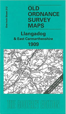
Llangadog & East Carmarthenshire 1909 – 212

Related Products:
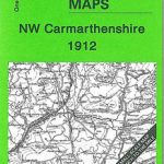 NW Carmarthenshire 1912 – 211
 Pembrokeshire & Carmarthenshire
 Walking in Carmarthenshire
 Carmarthenshire: 40 favourite walks
 Teifi & Carmarthenshire Circular Walks
 Carmarthenshire and Ceredigion Pevsner Architectural Guide
 Darwen 1909 – 70.16
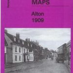 Alton 1909 – 35.07
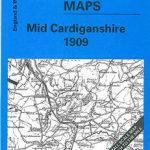 Mid Cardiganshire 1909 – 178
 Poulton cum Seacombe 1909 – 7.15
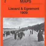 Liscard & Egremont 1909 – 7.11b
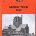 Wallasey Village 1909 – 7.10b
 Haverfordwest & District 1909 – 228
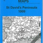 St. David`s Peninsula 1909 – 192/209
 North Pembrokeshire 1909 – 210
 South Pembrokeshire 1909 – 244/245
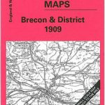 Brecon & District 1909 – 213
 Cardigan & District 1909 – 193
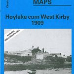 Hoylake cum West Kirby 1909 – 12.07
 Hove Village & Aldrington 1909
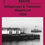 Birkenhead & Tranmere Waterfront 1909 – 13.04
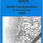 North Cardiganshire & Aberystwyth 1909 – 163
 Milford Haven & District 1909 – 226
 Lampeter – Tregaron & District 1909 – 195
 Aberporth – Llangranog & District 1909 – 177/194
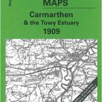 Carmarthen & the Towy Estuary 1909 – 229
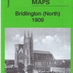 Bridlington (North) 1909: Yorkshire Sheet 146.02
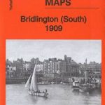 Bridlington (South) 1909: Yorkshire Sheet 146.06
 East Frisia – East Frisian Islands Marco Polo Leisure Map 05
 Ayr 1909 – 33.06
 Govan 1909
Hillhead 1909 – 6.06b
Accrington 1909
Govan 1909
Hillhead 1909 – 6.06b
Accrington 1909
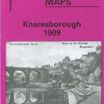 Knaresborough 1909
Bexenden 1909
Birkdale 1909 – 75.13
Knaresborough 1909
Bexenden 1909
Birkdale 1909 – 75.13
 Birkenhead 1909 – 13.03b
Rhosllanerchrugog 1909
Birkenhead 1909 – 13.03b
Rhosllanerchrugog 1909
 Rossall 1909
 Bellahouston 1909 – 6.13a