Disclosure : This site contains affiliate links to products. We may receive a commission for purchases made through these links.
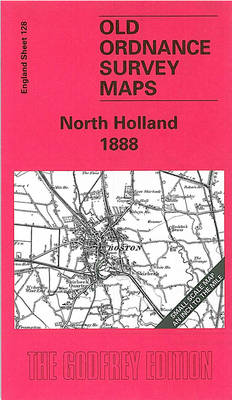
North Holland 1888 – 128
Related Products:
 North Chilterns 1888
 North Hertfordshire 1888 – 221
 North West Surrey 1888
 North Holland – Amsterdam Cycling Map
 North Holland – with Kennemerland Falkplan Cycling Map 13
 South-Holland North – Green Heart West and Bollenstreek Falkplan Cycling Map 14
 The Solent 1888
 East End 1888
 Mesty Croft 1888
 Barton upon Irwell 1888
 Penzance and St Ives Bay 1888
 Willenhall & Darlaston Green 1888 – 63.09a
 Exeter and the Lower Exe Valley 1888
 Exeter 1888 – 80.06a Colour Edition
 Leeds SW: Holbeck & New Wortley 1888 – 218.05a
 Winson Green and Hockley 1888
 Hoek van Holland
 Best Buildings – Holland
 A Voyage to New Holland
 The Holland Handbook
 Hidden Holland
 Dunes of the Central Holland 22
 Bicycle Touring Holland
 Waterkaart 10 Noord-Holland
 Stanfords Map of the County of London (1888) 60×80 Art Print
 Stanford`s Map of the County of London (1888) – A3 Wall Map, Paper
 Stanford`s Map of the County of London (1888) – A3 Wall Map, Canvas
 Stanford`s Map of the County of London (1888) – A2 Wall Map, Paper
 Stanford`s Map of the County of London (1888) – A2 Wall Map, Canvas
 Stanford`s Map of the County of London (1888) – A1 Wall Map, Canvas
 Never Again: A Walk from Hook of Holland to Istanbul
 C25 Harwich to the River Humber and Holland
 Stanfords Map of the County of London (1888) 60×80 Canvas Print
 Holland Park & Shepherds Bush 1871 – 73.1
 Holland Park & Shepherds Bush 1894 – 73.2
 Holland Cycling Region Bikeline Map-Guide
 C30 Harwich to Hoek van Holland and Dover Strait
 NOAA Chart 14932 – Holland Harbor
 Admiralty Chart 207 – Hoek Van Holland to Vlaardingen
 Stanford`s Map of the County of London (1888) – A1 Wall Map, Paper – Print on Demand


