Disclosure : This site contains affiliate links to products. We may receive a commission for purchases made through these links.
Dinosaur Magnets
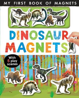
Learn all about dinosaurs in various prehistoric habitats with this colourful and interactive first book of magnets, which comes with eight dinosaur magnets to place in the scenes.

Related Products:
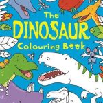 Dinosaur Colouring Book
 First Dinosaur Picture Atlas
 Utterly Amazing Dinosaur
 Dinosaur Colouring and Sticker Book
 My Encyclopedia of Very Important Dinosaurs: For Little Dinosaur Lovers Who Want to Know Everything
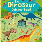 Big Dinosaur Sticker Book
 What`s Where on Earth? Dinosaur Atlas: The Prehistoric World as You`ve Never Seen it Before
 A Day at the Dinosaur Museum
 Dinosaur Atlas
 The Amazing Dinosaur Detectives: Amazing Facts, Myths and Quirks of the Dinosaur World
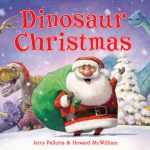 Dinosaur Christmas
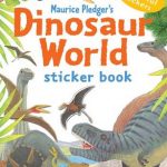 Dinosaur World Sticker Book
 Pick Me Up! Dinosaur
 Dictionary of Dinosaurs: an illustrated A to Z of every dinosaur ever discovered
 Dinosaur Timeline Book and Jigsaw
 Nibbles: The Dinosaur Guide
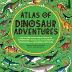 Atlas of Dinosaur Adventures: Step Into a Prehistoric World
 Dinosaur Sounds
 1,000 Facts About Dinosaurs, Fossils, and Prehistoric Life
 DEAR DINOSAUR
 I Love My Dinosaur
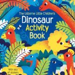 Little Children`s Dinosaur Activity Book
 Dear Dinosaur: T. Rex On tour
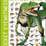 Pocket Eyewitness Dinosaurs: Facts at Your Fingertips
 The Dinosaurs Book
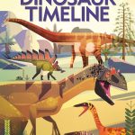 Fold-Out Dinosaur Timeline
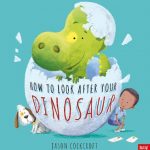 How to Look After Your Dinosaur
 Dinosaur Beach
 Peppa Pig: George and the Dinosaur
 Peppa Pig: Dinosaurs! Sticker Book
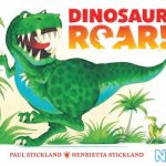 Dinosaur Roar!
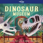 Build Your Own Dinosaur Museum
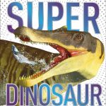 Super Dinosaur: The Biggest, Fastest, Coolest Dinosaurs and Prehistoric Life
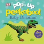 Pop Up Peekaboo! Baby Dinosaur
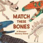 Match these Bones: A Dinosaur Memory Game
 Dinosaur Roar! Buggy Book
 My First Dinosaur Roar! Sticker Book
 There are 101 Dinosaurs in This Book
 The Dinosaur Book
 The Dinosaur That Pooped Christmas