Disclosure : This site contains affiliate links to products. We may receive a commission for purchases made through these links.
Muswell Hill 1894 – 11.2


Related Products:
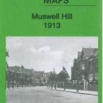 Muswell Hill 1913 – 11.3
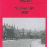 Muswell Hill 1935 – 11.4
 Highgate & Muswell Hill
 Streatham Hill & Tulse Hill 1894 – 126.2
 Teddington & Hampton Hill 1894 – 131.2
 Brixton & Herne Hill 1894 – 116.2
West Twickenham & Strawberry Hill 1894 – 121a
Brixton & Herne Hill 1894 – 116.2
West Twickenham & Strawberry Hill 1894 – 121a
 Enfield (Forty Hill & Clay Hill) 1935 – 2.15
 Muswell History & Guide
Streatham Hill & Tulse Hill 1914 – 126.3
Muswell History & Guide
Streatham Hill & Tulse Hill 1914 – 126.3
 NOAA Chart 13316 – Blue Hill Bay – Blue Hill Harbor
 Leslie 1894 – 27.03
 Kinghorn 1894 – 40.08
 Aberdour 1894 – 40.09
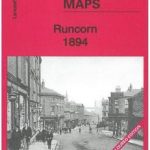 Runcorn 1894 – 115.13a
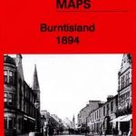 Burntisland 1894 – 40.06
Gospel Oak 1894 – 28.1
Burntisland 1894 – 40.06
Gospel Oak 1894 – 28.1
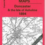 Doncaster 1894 – 88
 The Lizard 1894 – 359
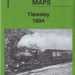 Yiewsley 1894
 On Sudden Hill
 Ebony Hill
Tony Hill
Ebony Hill
Tony Hill
 Cupar 1894: Part 2
 Hillingdon (North) 1894
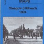 Glasgow (Hillhead) 1894 – 6.06a
 Glasgow Green 1894 – 6.15a
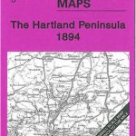 The Hartland Peninsula 1894 – 307/308
 Mevagissey 1894-1905 – 353
 Cranborne Chase 1894 – 314
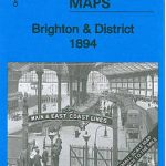 Brighton & District 1894 – 318
 Gateshead South 1894 – 23a
 The Notting Hill Mystery
 The Widows Of Malabar Hill
 Harrow on the Hill 1912 – 10.11a
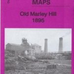 Old Marley Hill 1895 – 6.14
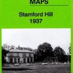 Stamford Hill 1937 – 21.4
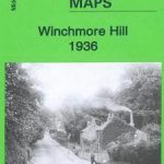 Winchmore Hill 1936 – 7.10b
 The Big Blue Thing on the Hill
Banbury Edge Hill (M)
The Big Blue Thing on the Hill
Banbury Edge Hill (M)