Disclosure : This site contains affiliate links to products. We may receive a commission for purchases made through these links.
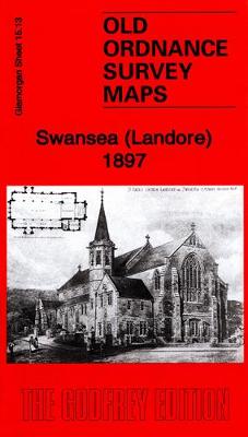
Swansea (Landore) 1897 – 15.13

Related Products:
 Swansea (West) 1897 – 23.08
 Swansea 1897 – 24.05
 Swansea (North) 1897 – 24.01
 Swansea Bay 1904 – 247
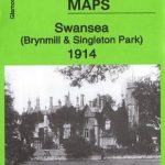 Swansea (Brynmill & Singleton Park) 1914 – 23.12
 The Swansea Globe
 Swansea A-Z Pocket Street Map
 Gower, Swansea & Cardiff
 Admiralty Chart 1161 – Swansea Bay
 Admiralty Chart SC5608_7 – Swansea Bay
 Bakewell 1897 – 23.11
 Dronfield 1897 – 18.01
 Swansea, Gower & Carmarthen OS Landranger Map 159 (paper)
 Chesterfield (North) 1897 – 25.02
 Eye – Stowmarket & District 1897 – 190
 NW Norfolk 1897-1906 – 130
 Worcester & The Malverns 1897 – 199
 Alford & Mablethorpe 1897 – 91/104
 Skegness & District 1897 – 116
 Horncastle & District 1897 – 115
 Airdrie (North) 1897 – 8.06
 Airdrie (South) 1897 – 8.10
 Swansea – Neath & Port Talbot OS Explorer Map 165 (paper)
 Swansea, Gower & Carmarthen OS Landranger Active Map 159 (waterproof)
 Lindsey (Louth & District) 1897 – 103
 Wellingborough – Rushden & District 1897 – 186
 Wincanton – Mere & District 1897 – 297
 Glastonbury & The Somerset Levels 1897 – 296
 Swansea – Neath & Port Talbot OS Explorer Active Map 165 (wateproof)
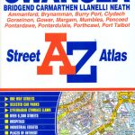 Swansea – Bridgend – Carmarthen – Llanelli – Neath A-Z Street Atlas
 West Suffolk (Bury & Mildenhall) 1897 – 189
 Warwick & Rugby 1897 – 184.1 Coloured Edition
 East Somerset & West Wilts 1897 – 281
 Ilfracombe & Minehead 1897: One Inch Sheet 277/278
 The Vale of Taunton & The Quantock Hills 1897 – 295
 Barnstaple – South Molton & Exmoor (West) 1897 – 293
 Wales Coast Path Official Guide 6: Carmarthen Bay & Gower: Tenby to Swansea
 Great Britain: Victorian England & Wales 1897 Maps from the Old House Books
 Tow Law 1897
Lenzie 1897
Tow Law 1897
Lenzie 1897